TYPE:
SENSOR
LAYER:
SEN_SPOT7_20190411_104907500_000
FORMAT:
DIMAP
RASTER:
image/jp2
General Information
Map Name
Geometric Processing Level
Radiometric Processing Level
BASIC
Image dimensions
Number of columns
4438
Number of rows
8484
Number of spectral bands
4
Dataset framing
Vertice
Longitude (DEG)
Latitude (DEG)
Row
Col
#1
-1.8096436785
48.592695702
1
#2
-1.40908489059
48.5805541745
#3
-1.40915993052
48.0410667612
#4
-1.80914924547
48.0560044557
Dataset sources
SPOT
Coordinate Reference System
Projected Coordinate System
Geocoding tables identification
ITU(0.0)
Production
Production Date
2019-05-29T11:19:37.00Z
Job identification
SPOT7_20190529_1052081eq0frctiuc26_1
Dataset Producer Identification
"SRD GEOSUD / IRD, Irstea, IGN"
Producer link
http://geosud.teledetection.fr/
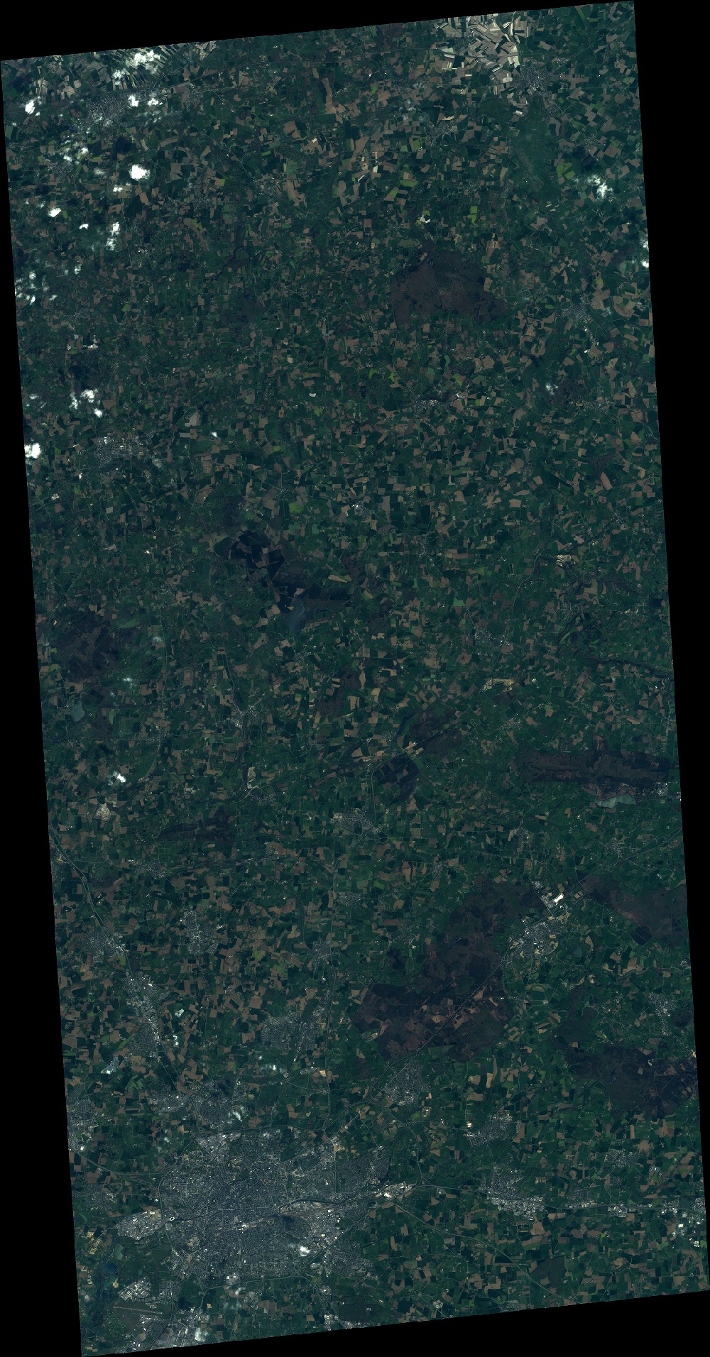
Quicklook
Copyright