TYPE:
SENSOR
LAYER:
DS_PHR1B_201904091044040_FR1_PX_E006N45_0502_01781
FORMAT:
DIMAP
RASTER:
image/jp2
General Information
Map Name
Geometric Processing Level
Radiometric Processing Level
BASIC
Image dimensions
Number of columns
29160
Number of rows
39352
Number of spectral bands
1
Dataset framing
Vertice
Longitude (DEG)
Latitude (DEG)
Row
Col
#1
6.311486638777736
45.17384809272461
#2
6.50390232079337
45.1701562496964
#3
6.504424640396347
44.98600978941904
#4
6.309605243046994
44.99257129173709
Dataset sources
PHR
Coordinate Reference System
Projected Coordinate System
Geocoding tables identification
EPSG(6.3)
Production
Production Date
2019-04-15T08:48:16.042
Job identification
3997797101-001
Dataset Producer Identification
AIRBUS DS GEO
Producer link
http://www.geo-airbusds.com
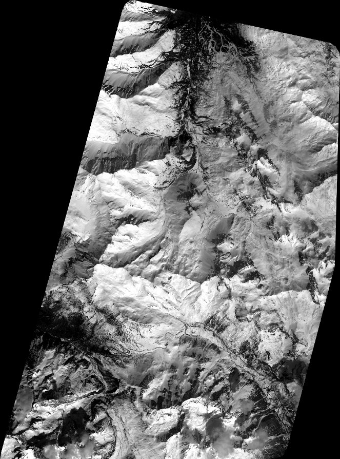
Quicklook
Copyright