TYPE:
SENSOR
LAYER:
DS_PHR1B_201904091044361_FR1_PX_E006N45_0503_01780
FORMAT:
DIMAP
RASTER:
image/jp2
General Information
Map Name
Geometric Processing Level
Radiometric Processing Level
BASIC
Image dimensions
Number of columns
7066
Number of rows
9836
Number of spectral bands
4
Dataset framing
Vertice
Longitude (DEG)
Latitude (DEG)
Row
Col
#1
6.312636835712035
45.17171314860243
1
#2
6.503690075858623
45.17644799749045
#3
6.503532044213432
44.99310555952709
#4
6.30964384457964
44.98819278182767
Dataset sources
PHR
Coordinate Reference System
Projected Coordinate System
Geocoding tables identification
EPSG(6.3)
Production
Production Date
2019-04-15T08:48:15.927
Job identification
3997797101-004
Dataset Producer Identification
AIRBUS DS GEO
Producer link
http://www.geo-airbusds.com
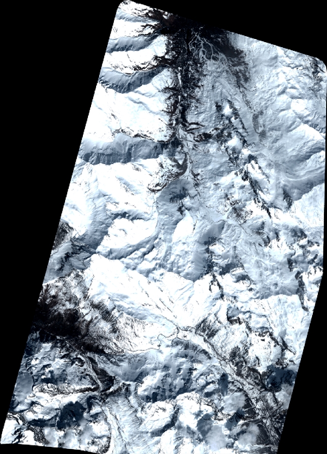
Quicklook
Copyright