TYPE:
SENSOR
LAYER:
DS_PHR1A_201903221032428_FR1_PX_E006N45_1123_02384
FORMAT:
DIMAP
RASTER:
image/jp2
General Information
Map Name
Geometric Processing Level
Radiometric Processing Level
BASIC
Image dimensions
Number of columns
39979
Number of rows
52307
Number of spectral bands
1
Dataset framing
Vertice
Longitude (DEG)
Latitude (DEG)
Row
Col
#1
6.780389702796937
46.05701762658129
#2
7.04586077338374
46.05157502122586
#3
7.045412742066932
45.80942783481593
#4
6.784299544484693
45.81055881306493
Dataset sources
PHR
Coordinate Reference System
Projected Coordinate System
Geocoding tables identification
EPSG(6.3)
Production
Production Date
2019-04-15T08:45:30.195
Job identification
3997700101-002
Dataset Producer Identification
AIRBUS DS GEO
Producer link
http://www.geo-airbusds.com
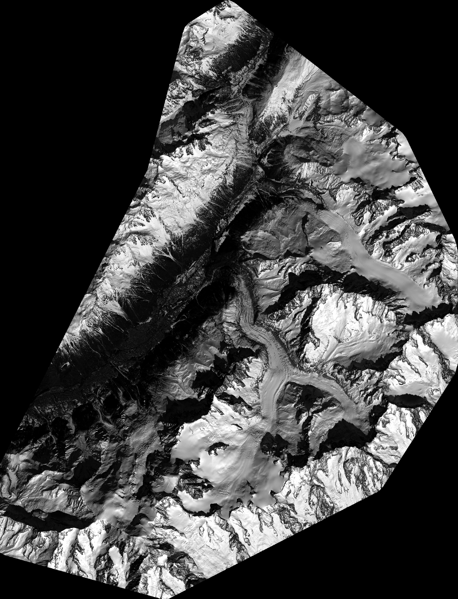
Quicklook
Copyright