TYPE:
SENSOR
LAYER:
DS_PHR1A_201903221032080_FR1_PX_E006N45_1123_02389
FORMAT:
DIMAP
RASTER:
image/jp2
General Information
Map Name
Geometric Processing Level
Radiometric Processing Level
BASIC
Image dimensions
Number of columns
39607
Number of rows
52719
Number of spectral bands
1
Dataset framing
Vertice
Longitude (DEG)
Latitude (DEG)
Row
Col
#1
6.776953110244079
46.04857403169515
#2
7.045194421713943
46.05460573125834
#3
7.045781039676501
45.8130745161569
#4
6.783627055333089
45.80847760018454
Dataset sources
PHR
Coordinate Reference System
Projected Coordinate System
Geocoding tables identification
EPSG(6.3)
Production
Production Date
2019-04-15T08:45:49.436
Job identification
3997700101-001
Dataset Producer Identification
AIRBUS DS GEO
Producer link
http://www.geo-airbusds.com
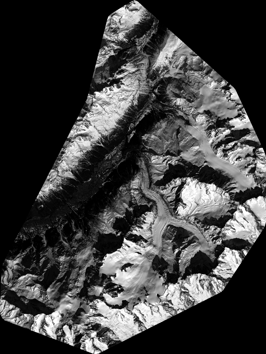
Quicklook
Copyright