TYPE:
SENSOR
LAYER:
DS_PHR1A_201903221032428_FR1_PX_E006N45_1123_02384
FORMAT:
DIMAP
RASTER:
image/jp2
General Information
Map Name
Geometric Processing Level
Radiometric Processing Level
BASIC
Image dimensions
Number of columns
9995
Number of rows
13078
Number of spectral bands
4
Dataset framing
Vertice
Longitude (DEG)
Latitude (DEG)
Row
Col
#1
6.780399541114354
46.05701991500291
1
#2
7.045857457813974
46.05157736198601
#3
7.045409107378577
45.80942179757438
#4
6.784310057108161
45.81055069725229
Dataset sources
PHR
Coordinate Reference System
Projected Coordinate System
Geocoding tables identification
EPSG(6.3)
Production
Production Date
2019-04-15T08:45:30.501
Job identification
3997700101-004
Dataset Producer Identification
AIRBUS DS GEO
Producer link
http://www.geo-airbusds.com
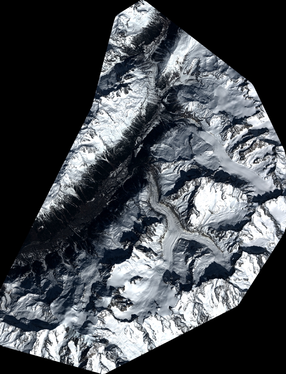
Quicklook
Copyright