TYPE:
SENSOR
LAYER:
SEN_SPOT7_20190304_060531800_000
FORMAT:
DIMAP
RASTER:
image/jp2
General Information
Map Name
Geometric Processing Level
Radiometric Processing Level
BASIC
Image dimensions
Number of columns
9652
Number of rows
9459
Number of spectral bands
4
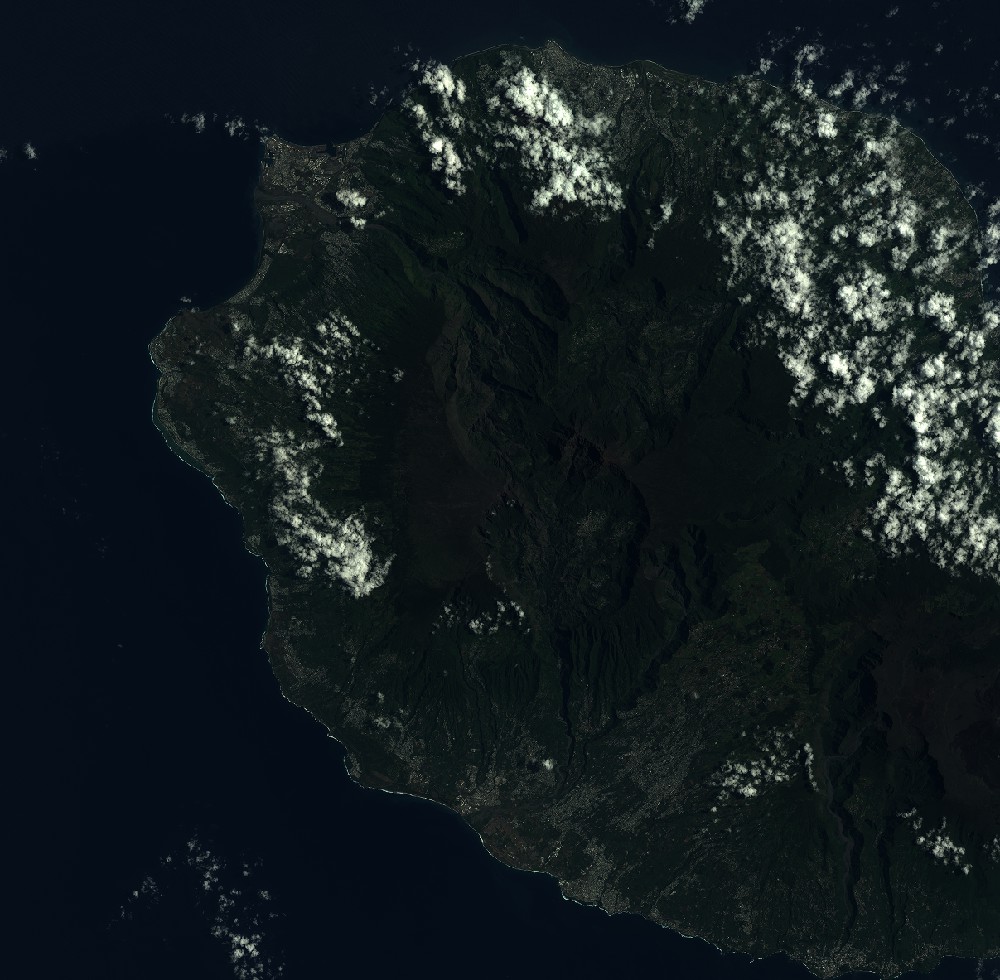
Dataset framing
Vertice
Longitude (DEG)
Latitude (DEG)
Row
Col
#1
55.1297027993
-20.8482346415
1
#2
55.7111584099
-20.849349078
#3
55.712726391
-21.3877368325
#4
55.1286780538
-21.3858511556
Dataset sources
SPOT
Coordinate Reference System
Projected Coordinate System
Geocoding tables identification
ITU(0.0)
Production
Production Date
2019-03-18T15:00:53.00Z
Job identification
SPOT7_20190318_1436151ajdyy4bybckb_1
Dataset Producer Identification
"SRD GEOSUD / IRD, Irstea, IGN"
Producer link
http://geosud.teledetection.fr/
Quicklook
Copyright