TYPE:
SENSOR
LAYER:
DS_PHR1B_201902161044485_FR1_PX_E006N45_0503_01527
FORMAT:
DIMAP
RASTER:
image/jp2
General Information
Map Name
Geometric Processing Level
Radiometric Processing Level
BASIC
Image dimensions
Number of columns
27361
Number of rows
33580
Number of spectral bands
1
Dataset framing
Vertice
Longitude (DEG)
Latitude (DEG)
Row
Col
#1
6.295755317790177
45.01836323545917
#2
6.479831051960706
45.02229445352776
#3
6.483163705903847
44.86742125436796
#4
6.294299855532551
44.86257152820802
Dataset sources
PHR
Coordinate Reference System
Projected Coordinate System
Geocoding tables identification
EPSG(6.3)
Production
Production Date
2019-04-15T08:42:16.965
Job identification
3997699101-002
Dataset Producer Identification
AIRBUS DS GEO
Producer link
http://www.geo-airbusds.com
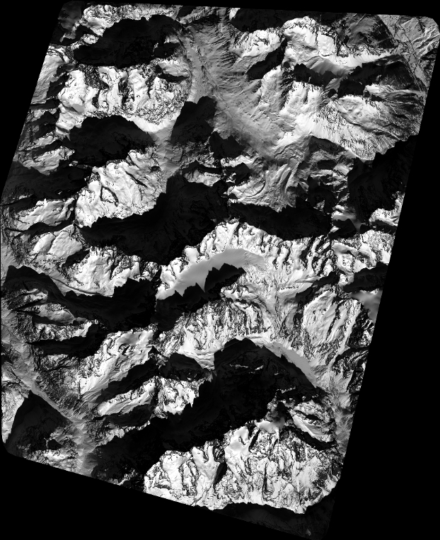
Quicklook
Copyright