TYPE:
SENSOR
LAYER:
DS_PHR1B_201902161044165_FR1_PX_E006N45_0503_01524
FORMAT:
DIMAP
RASTER:
image/jp2
General Information
Map Name
Geometric Processing Level
Radiometric Processing Level
BASIC
Image dimensions
Number of columns
28074
Number of rows
33045
Number of spectral bands
1
Dataset framing
Vertice
Longitude (DEG)
Latitude (DEG)
Row
Col
#1
6.295924502450205
45.02212744200416
#2
6.480531319187111
45.01850470937001
#3
6.482511410945363
44.86237489461737
#4
6.294481689655854
44.86949701323658
Dataset sources
PHR
Coordinate Reference System
Projected Coordinate System
Geocoding tables identification
EPSG(6.3)
Production
Production Date
2019-04-15T08:40:48.468
Job identification
3997699101-001
Dataset Producer Identification
AIRBUS DS GEO
Producer link
http://www.geo-airbusds.com
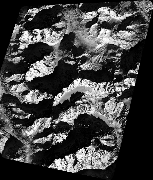
Quicklook
Copyright