TYPE:
SENSOR
LAYER:
DS_PHR1B_201902161044165_FR1_PX_E006N45_0503_01524
FORMAT:
DIMAP
RASTER:
image/jp2
General Information
Map Name
Geometric Processing Level
Radiometric Processing Level
BASIC
Image dimensions
Number of columns
7020
Number of rows
8262
Number of spectral bands
4
Dataset framing
Vertice
Longitude (DEG)
Latitude (DEG)
Row
Col
#1
6.295920845250095
45.02211622628946
1
#2
6.480547072081632
45.01849330584308
#3
6.482528726131421
44.86236214413006
#4
6.294479849609447
44.86948407978226
Dataset sources
PHR
Coordinate Reference System
Projected Coordinate System
Geocoding tables identification
EPSG(6.3)
Production
Production Date
2019-04-15T08:41:11.669
Job identification
3997699101-003
Dataset Producer Identification
AIRBUS DS GEO
Producer link
http://www.geo-airbusds.com
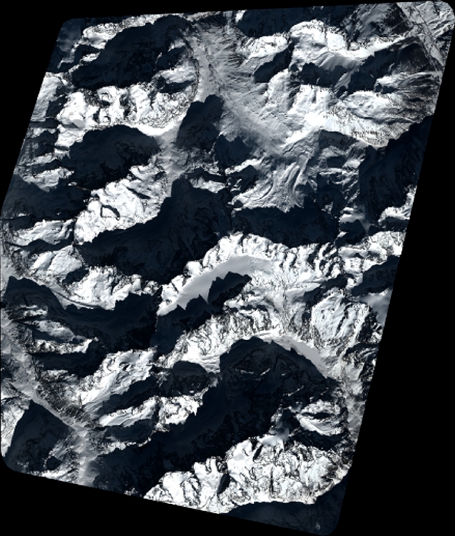
Quicklook
Copyright