TYPE:
SENSOR
LAYER:
DS_PHR1B_201902161044460_FR1_PX_E006N45_0502_01831
FORMAT:
DIMAP
RASTER:
image/jp2
General Information
Map Name
Geometric Processing Level
Radiometric Processing Level
BASIC
Image dimensions
Number of columns
28394
Number of rows
40514
Number of spectral bands
1
Dataset framing
Vertice
Longitude (DEG)
Latitude (DEG)
Row
Col
#1
6.311851952579458
45.17157283502311
#2
6.503588818737885
45.17655931709967
#3
6.504864334868121
44.98826427639894
#4
6.30978518785188
44.98295966455194
Dataset sources
PHR
Coordinate Reference System
Projected Coordinate System
Geocoding tables identification
EPSG(6.3)
Production
Production Date
2019-04-15T08:40:51.427
Job identification
3997698101-002
Dataset Producer Identification
AIRBUS DS GEO
Producer link
http://www.geo-airbusds.com
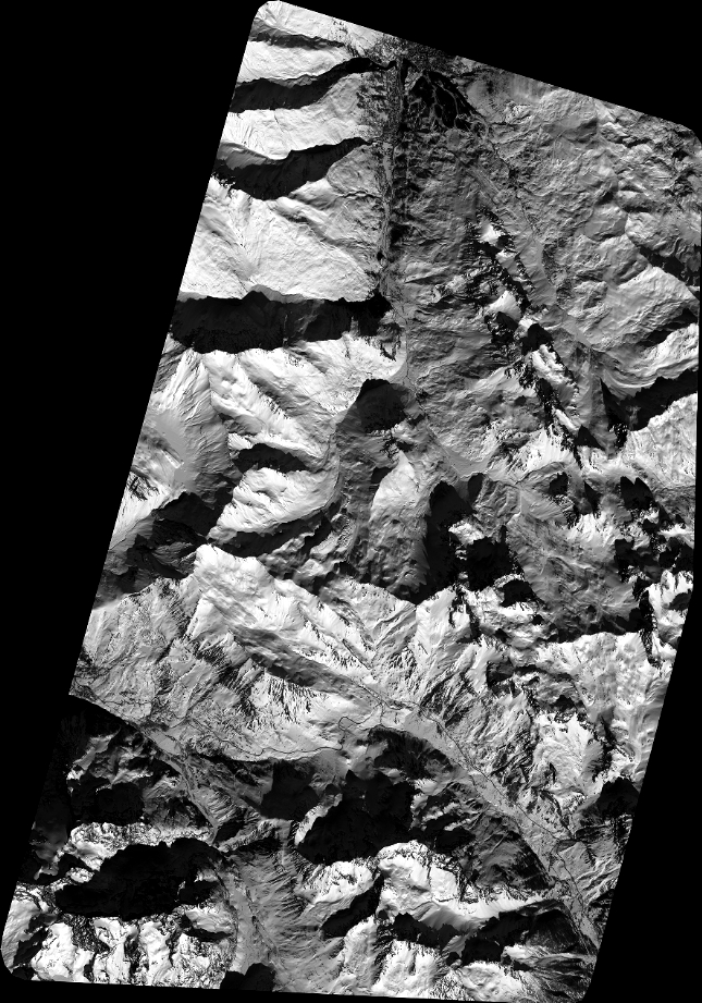
Quicklook
Copyright