TYPE:
SENSOR
LAYER:
DS_PHR1B_201902161044141_FR1_PX_E006N45_0502_01834
FORMAT:
DIMAP
RASTER:
image/jp2
General Information
Map Name
Geometric Processing Level
Radiometric Processing Level
BASIC
Image dimensions
Number of columns
29218
Number of rows
40468
Number of spectral bands
1
Dataset framing
Vertice
Longitude (DEG)
Latitude (DEG)
Row
Col
#1
6.311173517723729
45.17380153869507
#2
6.503885507859096
45.17026652543975
#3
6.505039535651872
44.98061542060598
#4
6.309617286745633
44.98730458950281
Dataset sources
PHR
Coordinate Reference System
Projected Coordinate System
Geocoding tables identification
EPSG(6.3)
Production
Production Date
2019-04-15T08:40:58.013
Job identification
3997698101-001
Dataset Producer Identification
AIRBUS DS GEO
Producer link
http://www.geo-airbusds.com
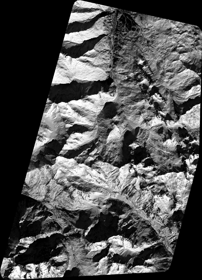
Quicklook
Copyright