TYPE:
SENSOR
LAYER:
SEN_SPOT6_20190216_101700400_000
FORMAT:
DIMAP
RASTER:
image/jp2
General Information
Map Name
Geometric Processing Level
Radiometric Processing Level
BASIC
Image dimensions
Number of columns
9635
Number of rows
9209
Number of spectral bands
4
Dataset framing
Vertice
Longitude (DEG)
Latitude (DEG)
Row
Col
#1
5.75071939312
45.3347078857
1
#2
6.57061846983
45.324732829
#3
6.57261202486
44.7870037735
#4
5.7498118566
44.7988950473
Dataset sources
SPOT
Coordinate Reference System
Projected Coordinate System
Geocoding tables identification
ITU(0.0)
Production
Production Date
2019-02-25T12:17:59.00Z
Job identification
SPOT6_20190225_11545512kbmx9ir8kpe_1
Dataset Producer Identification
"SRD GEOSUD / IRD, Irstea, IGN"
Producer link
http://geosud.teledetection.fr/
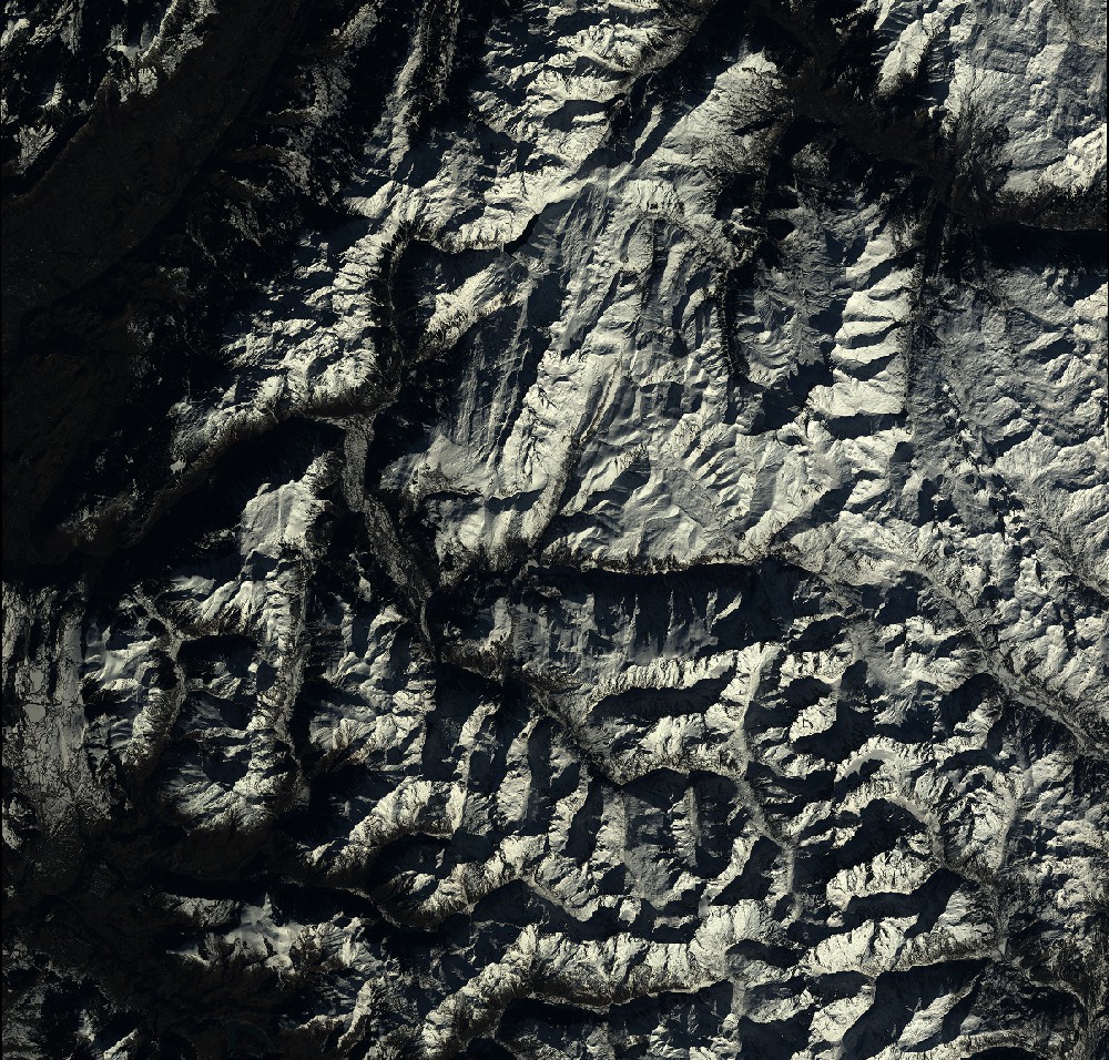
Quicklook
Copyright