TYPE:
SENSOR
LAYER:
DS_PHR1A_201902051028364_FR1_PX_E007N48_0913_01627
FORMAT:
DIMAP
RASTER:
image/jp2
General Information
Map Name
Geometric Processing Level
Radiometric Processing Level
BASIC
Image dimensions
Number of columns
9827
Number of rows
9044
Number of spectral bands
4
Dataset framing
Vertice
Longitude (DEG)
Latitude (DEG)
Row
Col
#1
7.53110691725445
48.61011711942884
1
#2
7.815613993063264
48.60081749514458
#3
7.815137087634557
48.42632956489039
#4
7.532314318912099
48.43479008175219
Dataset sources
PHR
Coordinate Reference System
Projected Coordinate System
Geocoding tables identification
EPSG(6.3)
Production
Production Date
2019-02-12T15:47:08.499
Job identification
3759073101-002
Dataset Producer Identification
AIRBUS DS GEO
Producer link
http://www.geo-airbusds.com
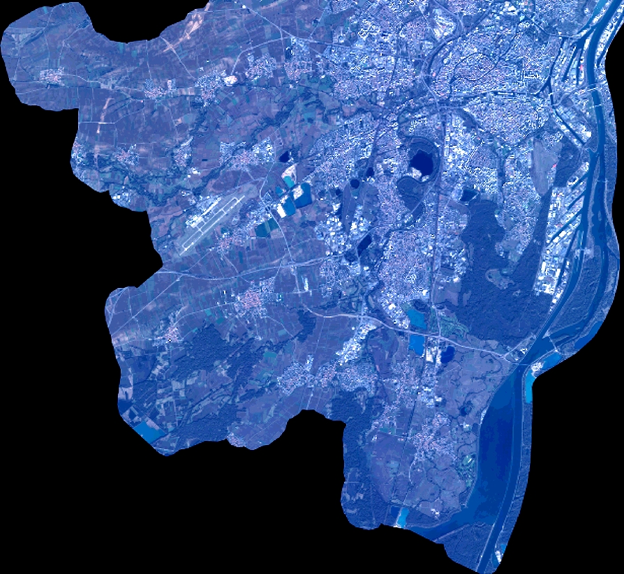
Quicklook
Copyright