TYPE:
SENSOR
LAYER:
DS_PHR1A_201902051028272_FR1_PX_E007N48_1015_01746
FORMAT:
DIMAP
RASTER:
image/jp2
General Information
Map Name
Geometric Processing Level
Radiometric Processing Level
BASIC
Image dimensions
Number of columns
9654
Number of rows
9714
Number of spectral bands
4
Dataset framing
Vertice
Longitude (DEG)
Latitude (DEG)
Row
Col
#1
7.626113362657235
48.71075697893558
1
#2
7.903097221381722
48.70363400741068
#3
7.902082920752303
48.52168683804901
#4
7.626701435283317
48.52793983077104
Dataset sources
PHR
Coordinate Reference System
Projected Coordinate System
Geocoding tables identification
EPSG(6.3)
Production
Production Date
2019-02-12T16:07:40.515
Job identification
3759074101-2
Dataset Producer Identification
AIRBUS DS GEO
Producer link
http://www.geo-airbusds.com
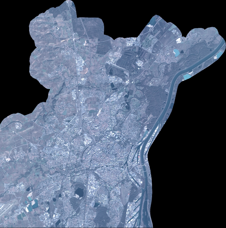
Quicklook
Copyright