TYPE:
SENSOR
LAYER:
SEN_SPOT7_20190129_100702800_000
FORMAT:
DIMAP
RASTER:
image/jp2
General Information
Map Name
Geometric Processing Level
Radiometric Processing Level
BASIC
Image dimensions
Number of columns
38609
Number of rows
32225
Number of spectral bands
1
Dataset framing
Vertice
Longitude (DEG)
Latitude (DEG)
Row
Col
#1
5.74192330963
45.3288152738
#2
6.57440508056
45.339496502
#3
6.56936983835
44.8072153453
#4
5.74767637783
44.7920924466
Dataset sources
SPOT
Coordinate Reference System
Projected Coordinate System
Geocoding tables identification
ITU(0.0)
Production
Production Date
2019-01-29T15:05:25.00Z
Job identification
SPOT7_20190129_1439021pi2tml54ap79_1
Dataset Producer Identification
"SRD GEOSUD / IRD, Irstea, IGN"
Producer link
http://geosud.teledetection.fr/
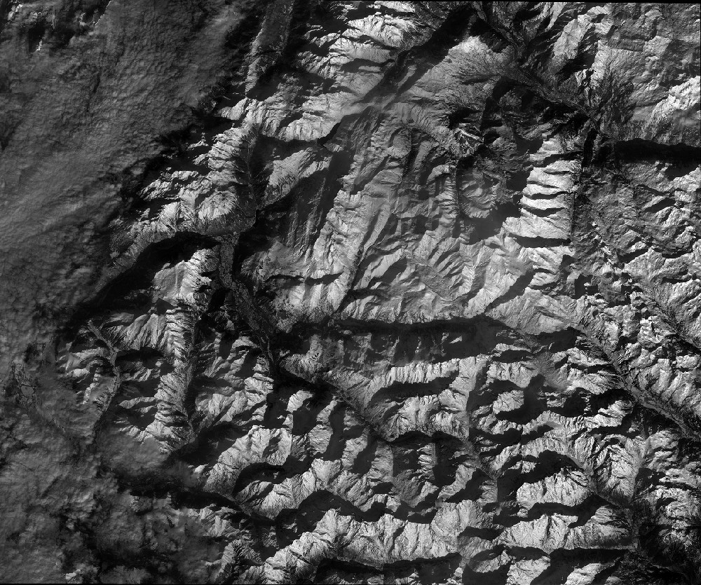
Quicklook
Copyright