TYPE:
SENSOR
LAYER:
SEN_SPOT7_20190115_101403100_000
FORMAT:
DIMAP
RASTER:
image/jp2
General Information
Map Name
Geometric Processing Level
Radiometric Processing Level
BASIC
Image dimensions
Number of columns
38597
Number of rows
37241
Number of spectral bands
1
Dataset framing
Vertice
Longitude (DEG)
Latitude (DEG)
Row
Col
#1
5.76616682174
45.3342276782
#2
6.55150443745
45.3254978815
#3
6.55115565953
44.7910684992
#4
5.76731751867
44.8015312359
Dataset sources
SPOT
Coordinate Reference System
Projected Coordinate System
Geocoding tables identification
ITU(0.0)
Production
Production Date
2019-01-29T09:36:05.00Z
Job identification
SPOT7_20190129_091320z3cy3x9e1zo6_1
Dataset Producer Identification
"SRD GEOSUD / IRD, Irstea, IGN"
Producer link
http://geosud.teledetection.fr/
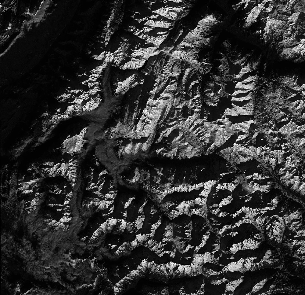
Quicklook
Copyright