TYPE:
SENSOR
LAYER:
SEN_SPOT7_20181108_060010600_000
FORMAT:
DIMAP
RASTER:
image/jp2
General Information
Map Name
Geometric Processing Level
Radiometric Processing Level
BASIC
Image dimensions
Number of columns
9648
Number of rows
10943
Number of spectral bands
4
Dataset framing
Vertice
Longitude (DEG)
Latitude (DEG)
Row
Col
#1
55.1035113401
-20.7697533567
1
#2
55.7300292565
-20.804321169
#3
55.7282823257
-21.4715739589
#4
55.1060835657
-21.4420079151
Dataset sources
SPOT
Coordinate Reference System
Projected Coordinate System
Geocoding tables identification
ITU(0.0)
Production
Production Date
2019-03-18T15:07:31.00Z
Job identification
SPOT7_20190318_14414914egoc4m9k1ge_1
Dataset Producer Identification
"SRD GEOSUD / IRD, Irstea, IGN"
Producer link
http://geosud.teledetection.fr/
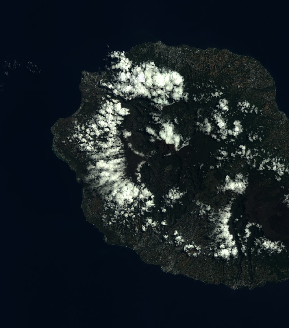
Quicklook
Copyright