TYPE:
SENSOR
LAYER:
DS_PHR1A_201810241029553_FR1_PX_E006N45_0203_01637
FORMAT:
DIMAP
RASTER:
image/jp2
General Information
Map Name
Geometric Processing Level
Radiometric Processing Level
BASIC
Image dimensions
Number of columns
24452
Number of rows
35542
Number of spectral bands
1
Dataset framing
Vertice
Longitude (DEG)
Latitude (DEG)
Row
Col
#1
6.034630266535538
45.19933069563221
#2
6.204501203459838
45.19127646874713
#3
6.205992743609292
45.01975326804789
#4
6.035432479618319
45.02834991288503
Dataset sources
PHR
Coordinate Reference System
Projected Coordinate System
Geocoding tables identification
EPSG(6.3)
Production
Production Date
2018-10-24T17:14:55.826
Job identification
3403830101-1
Dataset Producer Identification
AIRBUS DS GEO
Producer link
http://www.geo-airbusds.com
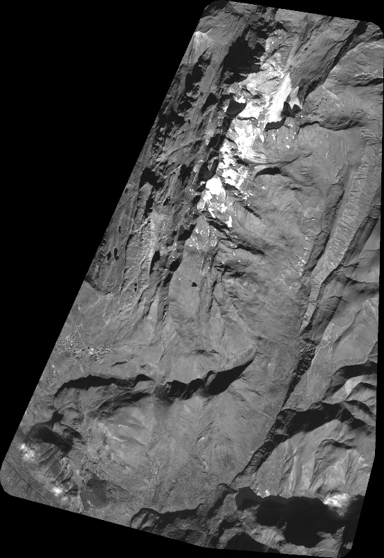
Quicklook
Copyright