TYPE:
SENSOR
LAYER:
DS_PHR1A_201810241029228_FR1_PX_E006N45_0203_01683
FORMAT:
DIMAP
RASTER:
image/jp2
General Information
Map Name
Geometric Processing Level
Radiometric Processing Level
BASIC
Image dimensions
Number of columns
23763
Number of rows
37153
Number of spectral bands
1
Dataset framing
Vertice
Longitude (DEG)
Latitude (DEG)
Row
Col
#1
6.034758848385678
45.19207475234141
#2
6.204255300663161
45.19580683919288
#3
6.205864817271437
45.02248775000245
#4
6.036593777585365
45.01757667638505
Dataset sources
PHR
Coordinate Reference System
Projected Coordinate System
Geocoding tables identification
EPSG(6.3)
Production
Production Date
2018-10-24T17:15:31.386
Job identification
3403830101-1
Dataset Producer Identification
AIRBUS DS GEO
Producer link
http://www.geo-airbusds.com
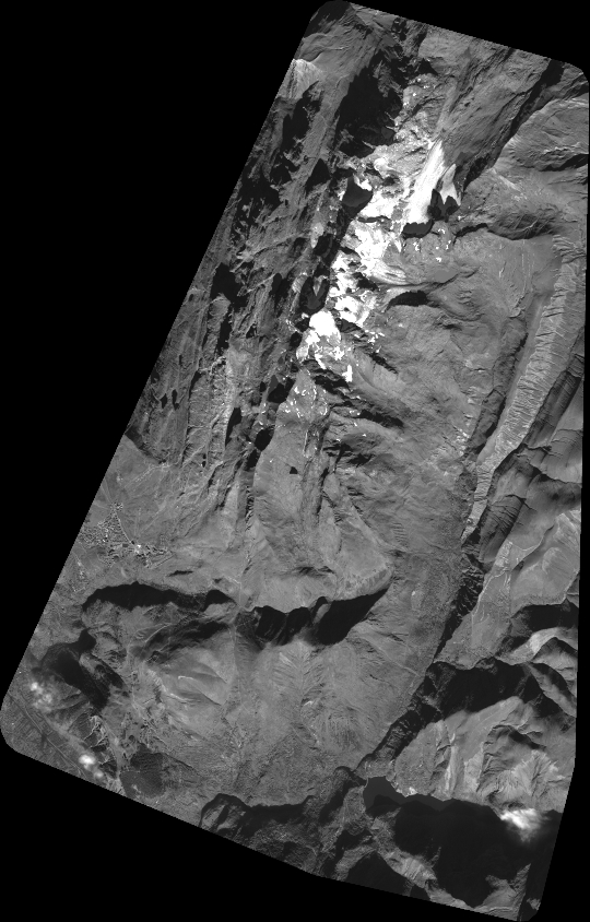
Quicklook
Copyright