TYPE:
SENSOR
LAYER:
DS_PHR1A_201810241029228_FR1_PX_E006N45_0203_01683
FORMAT:
DIMAP
RASTER:
image/jp2
General Information
Map Name
Geometric Processing Level
Radiometric Processing Level
BASIC
Image dimensions
Number of columns
5941
Number of rows
9289
Number of spectral bands
4
Dataset framing
Vertice
Longitude (DEG)
Latitude (DEG)
Row
Col
#1
6.034772665130375
45.19207189695822
1
#2
6.204258357633829
45.19580446697953
#3
6.205867790351733
45.02248536626222
#4
6.036610481983512
45.01757456562012
Dataset sources
PHR
Coordinate Reference System
Projected Coordinate System
Geocoding tables identification
EPSG(6.3)
Production
Production Date
2018-10-24T17:14:52.908
Job identification
3403830101-2
Dataset Producer Identification
AIRBUS DS GEO
Producer link
http://www.geo-airbusds.com
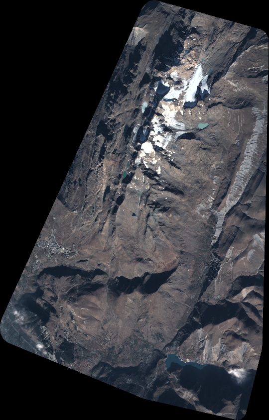
Quicklook
Copyright