TYPE:
SENSOR
LAYER:
SEN_SPOT6_20181005_104652900_000
FORMAT:
DIMAP
RASTER:
image/jp2
General Information
Map Name
Geometric Processing Level
Radiometric Processing Level
BASIC
Image dimensions
Number of columns
38609
Number of rows
39009
Number of spectral bands
1
Dataset framing
Vertice
Longitude (DEG)
Latitude (DEG)
Row
Col
#1
-2.02812490897
48.6404973207
#2
-1.18736585337
48.6342301698
#3
-1.19003355258
48.0533673765
#4
-2.02475165789
48.0634240625
Dataset sources
SPOT
Coordinate Reference System
Projected Coordinate System
Geocoding tables identification
ITU(0.0)
Production
Production Date
2018-10-05T12:17:34.00Z
Job identification
SPOT6_20181005_1155391ox04gkxy7j6o_1
Dataset Producer Identification
"SRD GEOSUD / IRD, Irstea, IGN"
Producer link
http://geosud.teledetection.fr/
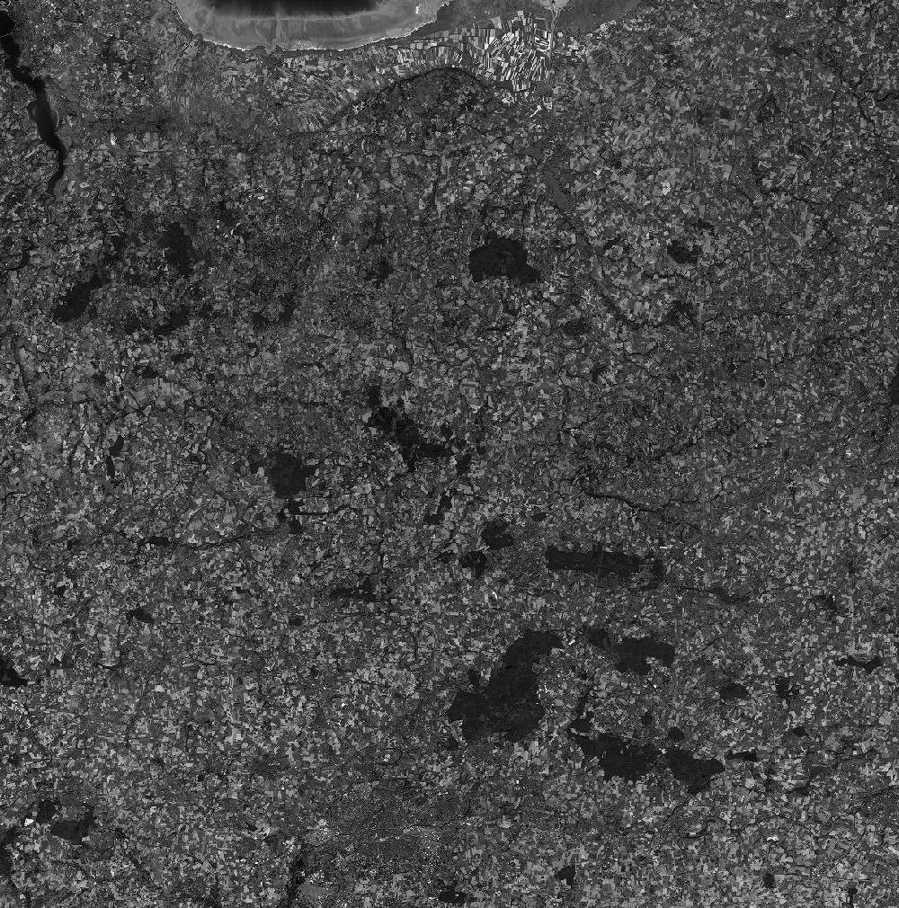
Quicklook
Copyright