TYPE:
SENSOR
LAYER:
DS_PHR1A_201810051025598_FR1_PX_E007N45_0107_02117
FORMAT:
DIMAP
RASTER:
image/jp2
General Information
Map Name
Geometric Processing Level
Radiometric Processing Level
BASIC
Image dimensions
Number of columns
40000
Number of rows
46414
Number of spectral bands
1
Dataset framing
Vertice
Longitude (DEG)
Latitude (DEG)
Row
Col
#1
6.919518807594027
45.40600576044132
#2
7.196578410985465
45.39402248676618
#3
7.191458901865263
45.17428728863783
#4
6.920960456412875
45.18141281931258
Dataset sources
PHR
Coordinate Reference System
Projected Coordinate System
Geocoding tables identification
EPSG(6.3)
Production
Production Date
2018-10-17T11:45:13.594
Job identification
3389027101-002
Dataset Producer Identification
AIRBUS DS GEO
Producer link
http://www.geo-airbusds.com
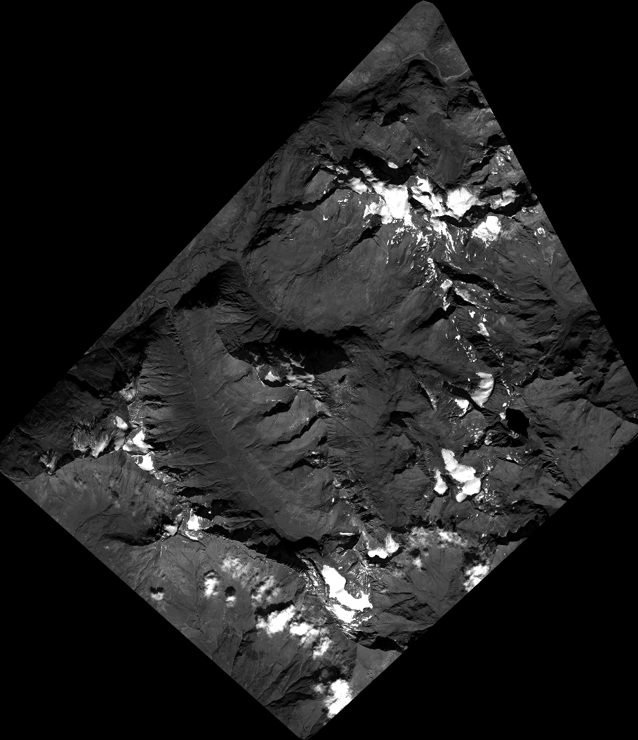
Quicklook
Copyright