TYPE:
SENSOR
LAYER:
DS_PHR1A_201810051025268_FR1_PX_E007N45_0107_02102
FORMAT:
DIMAP
RASTER:
image/jp2
General Information
Map Name
Geometric Processing Level
Radiometric Processing Level
BASIC
Image dimensions
Number of columns
39782
Number of rows
46258
Number of spectral bands
1
Dataset framing
Vertice
Longitude (DEG)
Latitude (DEG)
Row
Col
#1
6.918696307620952
45.39580913568495
#2
7.199802072685175
45.40077185298107
#3
7.194237616996634
45.1832985962357
#4
6.917647834986908
45.17688524368172
Dataset sources
PHR
Coordinate Reference System
Projected Coordinate System
Geocoding tables identification
EPSG(6.3)
Production
Production Date
2018-10-17T11:45:24.779
Job identification
3389027101-001
Dataset Producer Identification
AIRBUS DS GEO
Producer link
http://www.geo-airbusds.com
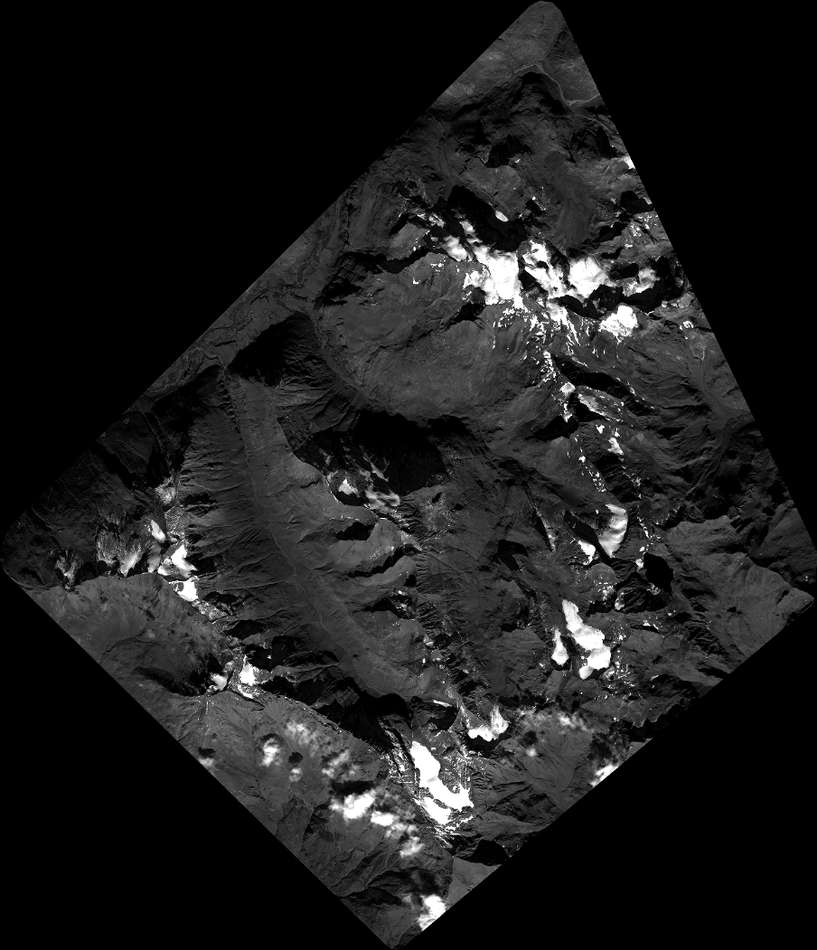
Quicklook
Copyright