TYPE:
SENSOR
LAYER:
DS_PHR1A_201809271125341_FR1_PX_W002N48_0613_01738
FORMAT:
DIMAP
RASTER:
image/jp2
General Information
Map Name
Geometric Processing Level
Radiometric Processing Level
BASIC
Image dimensions
Number of columns
36791
Number of rows
38597
Number of spectral bands
1
Dataset framing
Vertice
Longitude (DEG)
Latitude (DEG)
Row
Col
#1
-1.715812907700708
48.58605629819326
#2
-1.436917431500041
48.59022348975074
#3
-1.437090621667024
48.40737004980812
#4
-1.716312315595199
48.40489216585145
Dataset sources
PHR
Coordinate Reference System
Projected Coordinate System
Geocoding tables identification
EPSG(6.3)
Production
Production Date
2018-09-28T06:19:26.975
Job identification
3335413201-1
Dataset Producer Identification
AIRBUS DS GEO
Producer link
http://www.geo-airbusds.com
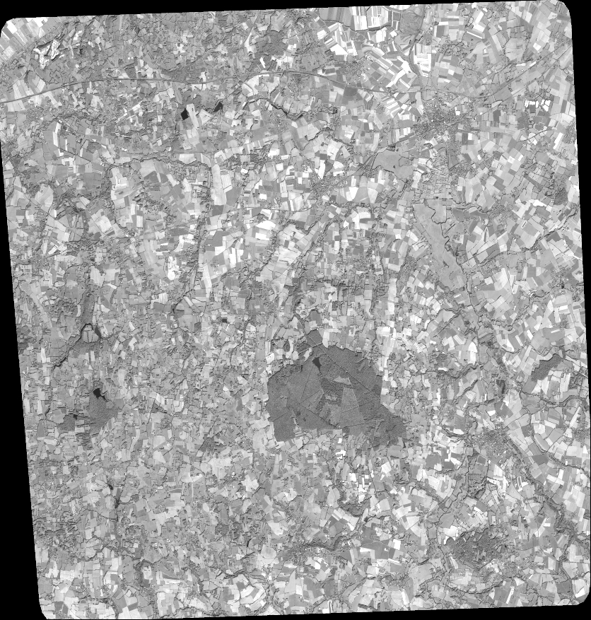
Quicklook
Copyright