TYPE:
SENSOR
LAYER:
DS_PHR1A_201809271125341_FR1_PX_W002N48_0613_01738
FORMAT:
DIMAP
RASTER:
image/jp2
General Information
Map Name
Geometric Processing Level
Radiometric Processing Level
BASIC
Image dimensions
Number of columns
9198
Number of rows
9649
Number of spectral bands
4
Dataset framing
Vertice
Longitude (DEG)
Latitude (DEG)
Row
Col
#1
-1.715794072037763
48.5860448722196
1
#2
-1.436913678236621
48.59021170394154
#3
-1.437087138357904
48.40737715945716
#4
-1.716293675177334
48.40489936930646
Dataset sources
PHR
Coordinate Reference System
Projected Coordinate System
Geocoding tables identification
EPSG(6.3)
Production
Production Date
2018-09-28T06:19:13.552
Job identification
3335413201-2
Dataset Producer Identification
AIRBUS DS GEO
Producer link
http://www.geo-airbusds.com
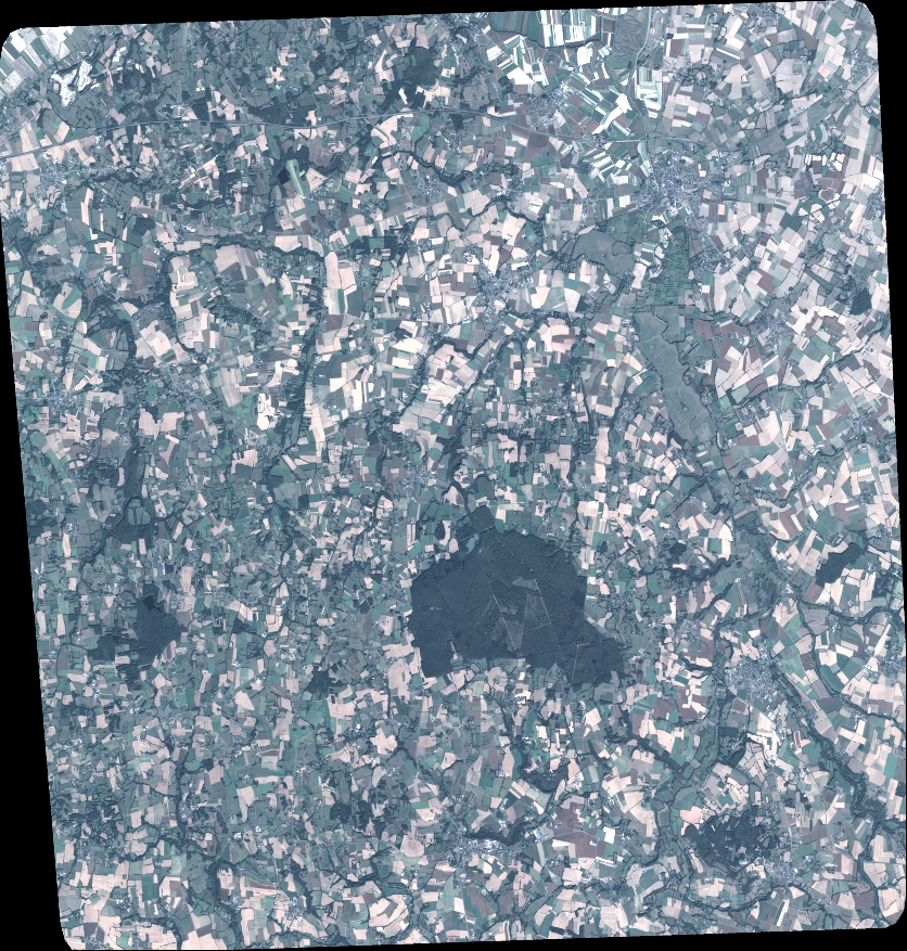
Quicklook
Copyright