TYPE:
SENSOR
LAYER:
SEN_SPOT6_20180920_101301000_000
FORMAT:
DIMAP
RASTER:
image/jp2
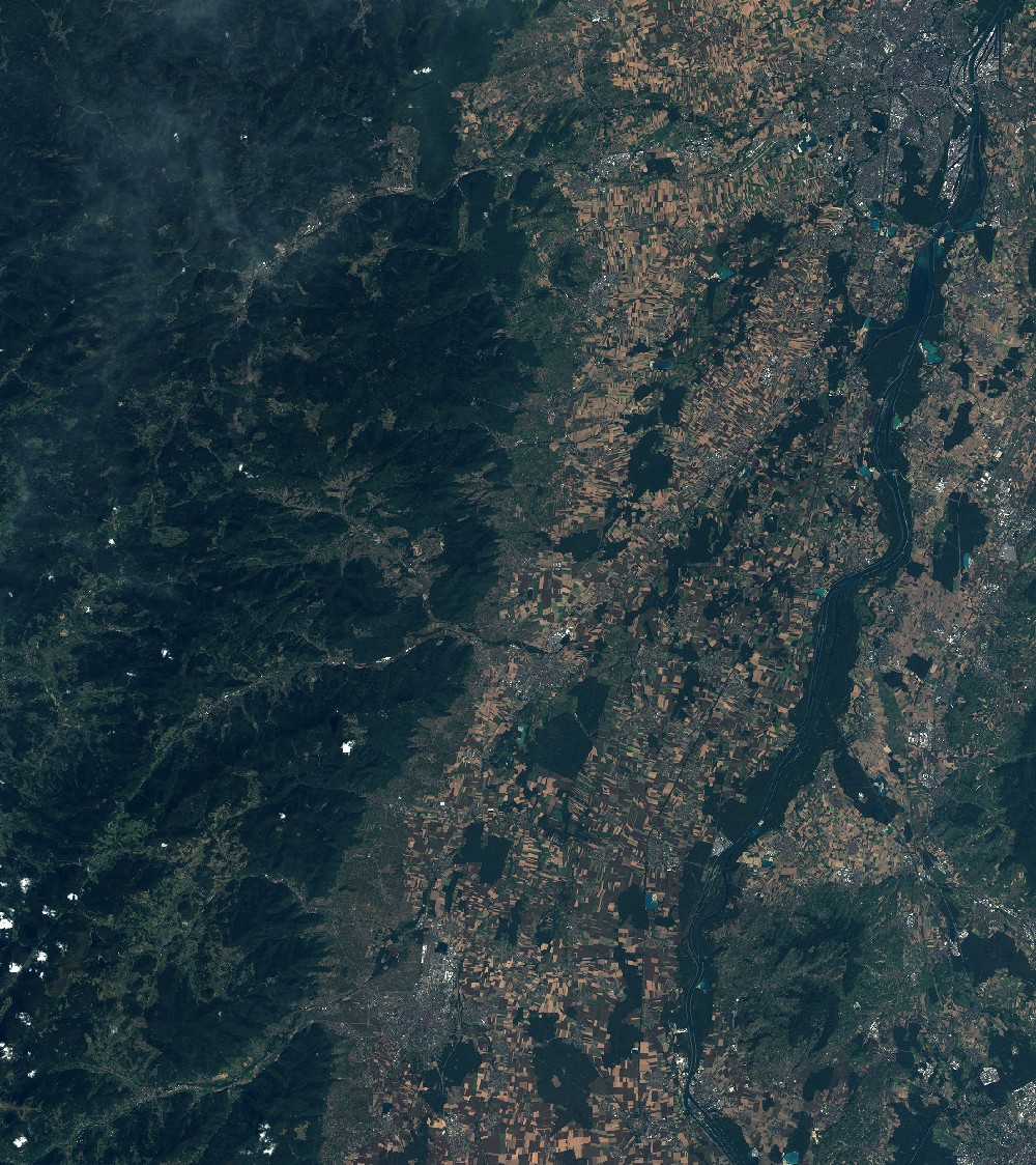
General Information
Map Name
Geometric Processing Level
Radiometric Processing Level
BASIC
Image dimensions
Number of columns
9652
Number of rows
10849
Number of spectral bands
4
Dataset framing
Vertice
Longitude (DEG)
Latitude (DEG)
Row
Col
#1
7.01507582191
48.6299131992
1
#2
7.85274424767
48.6188710884
#3
7.85153608238
47.9894306434
#4
7.01734683629
48.0035294619
Dataset sources
SPOT
Coordinate Reference System
Projected Coordinate System
Geocoding tables identification
ITU(0.0)
Production
Production Date
2018-09-25T09:44:01.00Z
Job identification
SPOT6_20180925_0918031k4rab94227w2_1
Dataset Producer Identification
"SRD GEOSUD / IRD, Irstea, IGN"
Producer link
http://geosud.teledetection.fr/
Quicklook
Copyright