TYPE:
SENSOR
LAYER:
SEN_SPOT6_20180916_060639400_000
FORMAT:
DIMAP
RASTER:
image/jp2
General Information
Map Name
Geometric Processing Level
Radiometric Processing Level
BASIC
Image dimensions
Number of columns
38609
Number of rows
38461
Number of spectral bands
1
Dataset framing
Vertice
Longitude (DEG)
Latitude (DEG)
Row
Col
#1
55.1299337214
-20.8473018921
#2
55.71199024
-20.8471649194
#3
55.7138339553
-21.3921336958
#4
55.128533255
-21.3928447316
Dataset sources
SPOT
Coordinate Reference System
Projected Coordinate System
Geocoding tables identification
ITU(0.0)
Production
Production Date
2018-09-25T09:33:43.00Z
Job identification
SPOT6_20180925_091428182e6p7g90ldb_1
Dataset Producer Identification
"SRD GEOSUD / IRD, Irstea, IGN"
Producer link
http://geosud.teledetection.fr/
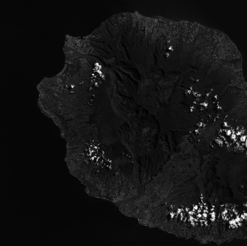
Quicklook
Copyright