TYPE:
SENSOR
LAYER:
SEN_SPOT6_20180916_060639400_000
FORMAT:
DIMAP
RASTER:
image/jp2
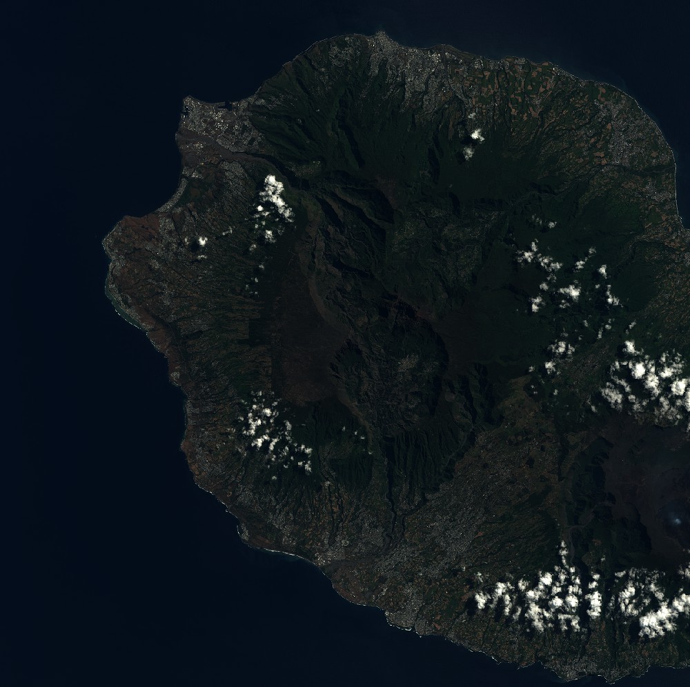
General Information
Map Name
Geometric Processing Level
Radiometric Processing Level
BASIC
Image dimensions
Number of columns
9652
Number of rows
9615
Number of spectral bands
4
Dataset framing
Vertice
Longitude (DEG)
Latitude (DEG)
Row
Col
#1
55.1299636931
-20.8473303191
1
#2
55.7119600493
-20.8471933333
#3
55.7138033594
-21.3921054597
#4
55.1285634955
-21.3928163891
Dataset sources
SPOT
Coordinate Reference System
Projected Coordinate System
Geocoding tables identification
ITU(0.0)
Production
Production Date
2018-09-25T09:33:43.00Z
Job identification
SPOT6_20180925_091428182e6p7g90ldb_1
Dataset Producer Identification
"SRD GEOSUD / IRD, Irstea, IGN"
Producer link
http://geosud.teledetection.fr/
Quicklook
Copyright