TYPE:
SENSOR
LAYER:
SEN_SPOT6_20180915_100310500_000
FORMAT:
DIMAP
RASTER:
image/jp2
General Information
Map Name
Geometric Processing Level
Radiometric Processing Level
BASIC
Image dimensions
Number of columns
9651
Number of rows
10430
Number of spectral bands
4
Dataset framing
Vertice
Longitude (DEG)
Latitude (DEG)
Row
Col
#1
6.28753145911
45.5905817992
1
#2
7.08186798346
45.5802196164
#3
7.07643155972
44.9641825061
#4
6.29409560354
44.970863443
Dataset sources
SPOT
Coordinate Reference System
Projected Coordinate System
Geocoding tables identification
ITU(0.0)
Production
Production Date
2018-10-04T14:01:10.00Z
Job identification
SPOT6_20181004_1334321pb9mr4gb13fg_1
Dataset Producer Identification
"SRD GEOSUD / IRD, Irstea, IGN"
Producer link
http://geosud.teledetection.fr/
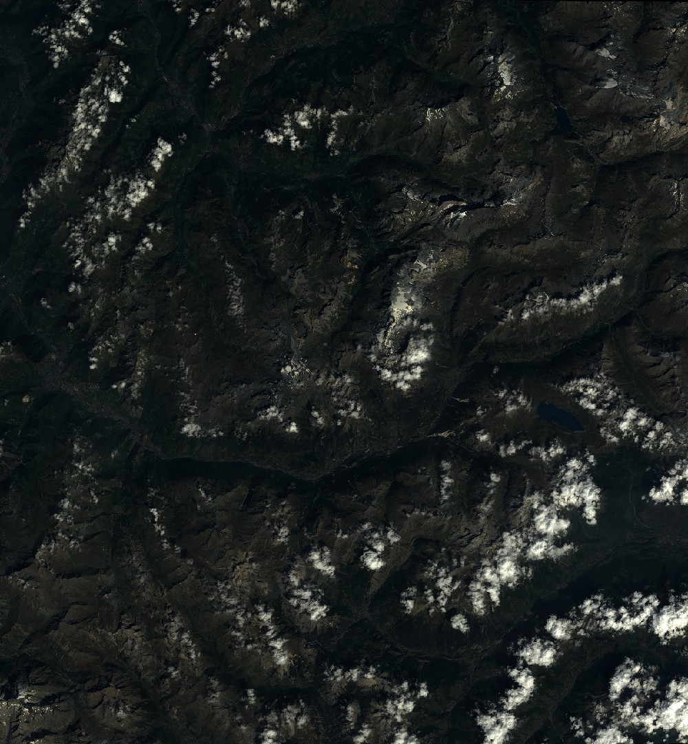
Quicklook
Copyright