TYPE:
SENSOR
LAYER:
DS_PHR1A_201809150640599_FR1_PX_E055S22_0919_01017
FORMAT:
DIMAP
RASTER:
image/jp2
General Information
Map Name
Geometric Processing Level
Radiometric Processing Level
BASIC
Image dimensions
Number of columns
6829
Number of rows
5559
Number of spectral bands
4
Dataset framing
Vertice
Longitude (DEG)
Latitude (DEG)
Row
Col
#1
55.67378464093608
-21.20009955937772
1
#2
55.82139202503669
-21.1918740075768
#3
55.82189647620267
-21.29736250721684
#4
55.67417553158712
-21.30482310321111
Dataset sources
PHR
Coordinate Reference System
Projected Coordinate System
Geocoding tables identification
EPSG(6.3)
Production
Production Date
2018-10-04T17:58:20.995
Job identification
3349197101-002
Dataset Producer Identification
AIRBUS DS GEO
Producer link
http://www.geo-airbusds.com
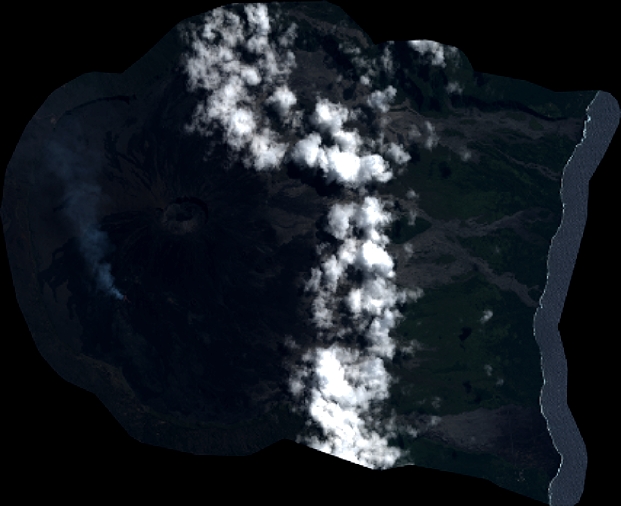
Quicklook
Copyright