TYPE:
SENSOR
LAYER:
DS_PHR1B_201809081033040_FR1_PX_E006N45_1123_02404
FORMAT:
DIMAP
RASTER:
image/jp2
General Information
Map Name
Geometric Processing Level
Radiometric Processing Level
BASIC
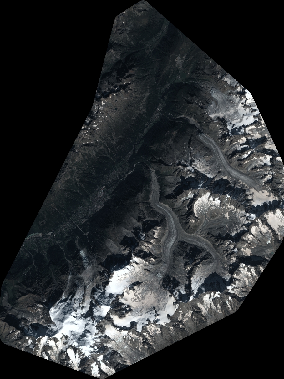
Image dimensions
Number of columns
9996
Number of rows
13339
Number of spectral bands
4
Dataset framing
Vertice
Longitude (DEG)
Latitude (DEG)
Row
Col
#1
6.777550846683913
46.04977102812209
1
#2
7.045317968922976
46.05400676425708
#3
7.045699317058453
45.81217658358136
#4
6.783749156841135
45.80894637865884
Dataset sources
PHR
Coordinate Reference System
Projected Coordinate System
Geocoding tables identification
EPSG(6.3)
Production
Production Date
2018-09-10T14:09:31.979
Job identification
3298159101-2
Dataset Producer Identification
AIRBUS DS GEO
Producer link
http://www.geo-airbusds.com
Quicklook
Copyright