TYPE:
SENSOR
LAYER:
DS_PHR1B_201809081033330_FR1_PX_E006N45_1123_02397
FORMAT:
DIMAP
RASTER:
image/jp2
General Information
Map Name
Geometric Processing Level
Radiometric Processing Level
BASIC
Image dimensions
Number of columns
40000
Number of rows
52707
Number of spectral bands
1
Dataset framing
Vertice
Longitude (DEG)
Latitude (DEG)
Row
Col
#1
6.779967939370318
46.05651646783778
#2
7.044537871746095
46.05175303618611
#3
7.043965269818655
45.8096436791754
#4
6.783630857292478
45.81049962832513
Dataset sources
PHR
Coordinate Reference System
Projected Coordinate System
Geocoding tables identification
EPSG(6.3)
Production
Production Date
2018-09-10T14:10:07.192
Job identification
3298159101-1
Dataset Producer Identification
AIRBUS DS GEO
Producer link
http://www.geo-airbusds.com
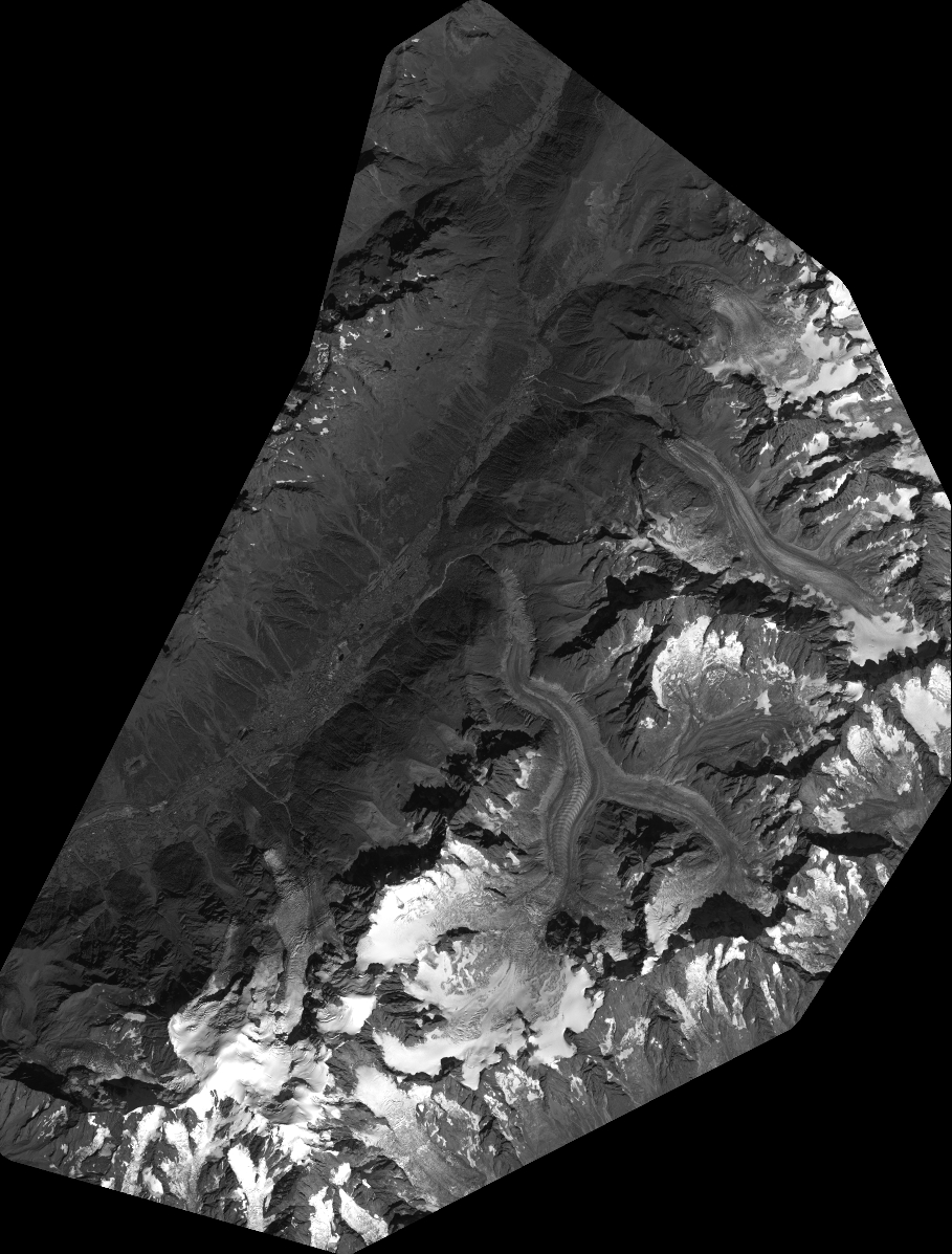
Quicklook
Copyright