TYPE:
SENSOR
LAYER:
DS_PHR1B_201809081033040_FR1_PX_E006N45_1123_02404
FORMAT:
DIMAP
RASTER:
image/jp2
General Information
Map Name
Geometric Processing Level
Radiometric Processing Level
BASIC
Image dimensions
Number of columns
39982
Number of rows
53350
Number of spectral bands
1
Dataset framing
Vertice
Longitude (DEG)
Latitude (DEG)
Row
Col
#1
6.777540044973784
46.04977278704055
#2
7.045314724330568
46.05400904975158
#3
7.045697155568177
45.81219318846014
#4
6.78373879361567
45.80896193266638
Dataset sources
PHR
Coordinate Reference System
Projected Coordinate System
Geocoding tables identification
EPSG(6.3)
Production
Production Date
2018-09-10T14:10:37.958
Job identification
3298159101-1
Dataset Producer Identification
AIRBUS DS GEO
Producer link
http://www.geo-airbusds.com
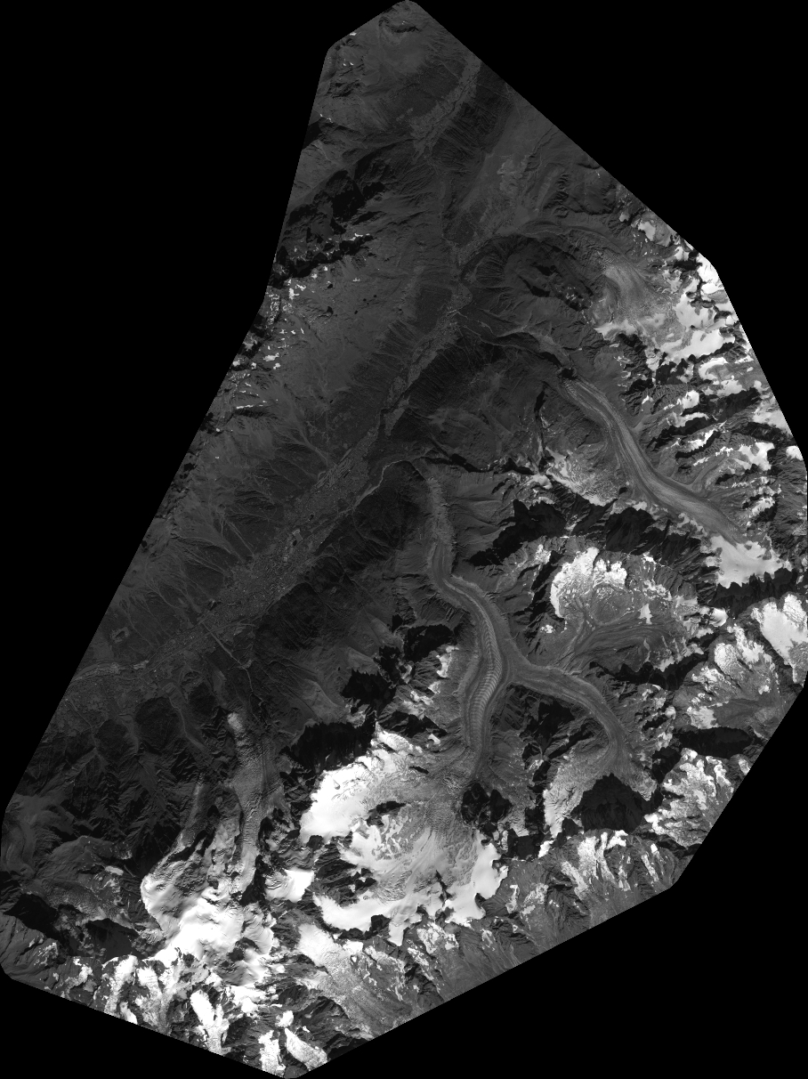
Quicklook
Copyright