TYPE:
SENSOR
LAYER:
SEN_SPOT6_20180908_100651800_000
FORMAT:
DIMAP
RASTER:
image/jp2
General Information
Map Name
Geometric Processing Level
Radiometric Processing Level
BASIC
Image dimensions
Number of columns
38609
Number of rows
42269
Number of spectral bands
1
Dataset framing
Vertice
Longitude (DEG)
Latitude (DEG)
Row
Col
#1
5.80905238865
45.7901308236
#2
6.59300142582
45.7856677302
#3
6.58845267224
45.1804346895
#4
5.81450087533
45.1825830803
Dataset sources
SPOT
Coordinate Reference System
Projected Coordinate System
Geocoding tables identification
ITU(0.0)
Production
Production Date
2018-09-25T09:37:01.00Z
Job identification
SPOT6_20180925_09131718zfxf8odith6_1
Dataset Producer Identification
"SRD GEOSUD / IRD, Irstea, IGN"
Producer link
http://geosud.teledetection.fr/
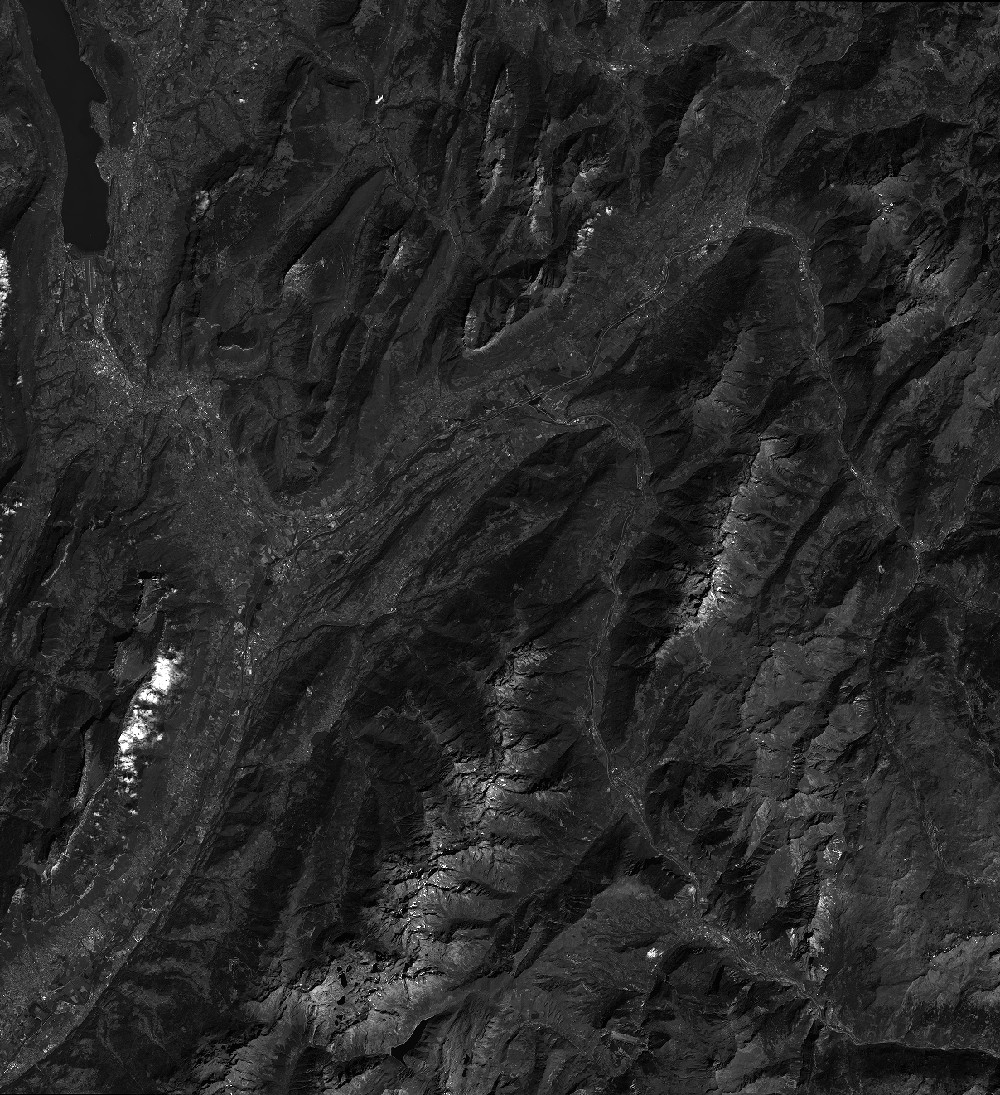
Quicklook
Copyright