TYPE:
SENSOR
LAYER:
DS_PHR1B_201809021117345_FR1_PX_W002N48_0612_01648
FORMAT:
DIMAP
RASTER:
image/jp2
General Information
Map Name
Geometric Processing Level
Radiometric Processing Level
BASIC
Image dimensions
Number of columns
39869
Number of rows
36523
Number of spectral bands
1
Dataset framing
Vertice
Longitude (DEG)
Latitude (DEG)
Row
Col
#1
-1.719147925842897
48.59081770526507
#2
-1.43295532608
48.58990027912402
#3
-1.433264635557295
48.40684332683237
#4
-1.718797569664608
48.40782408763141
Dataset sources
PHR
Coordinate Reference System
Projected Coordinate System
Geocoding tables identification
EPSG(6.3)
Production
Production Date
2018-09-03T15:54:51.172
Job identification
3284858101-001
Dataset Producer Identification
AIRBUS DS GEO
Producer link
http://www.geo-airbusds.com
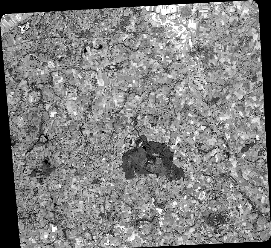
Quicklook
Copyright