TYPE:
SENSOR
LAYER:
DS_PHR1B_201809021117345_FR1_PX_W002N48_0612_01648
FORMAT:
DIMAP
RASTER:
image/jp2
General Information
Map Name
Geometric Processing Level
Radiometric Processing Level
BASIC
Image dimensions
Number of columns
9968
Number of rows
9131
Number of spectral bands
4
Dataset framing
Vertice
Longitude (DEG)
Latitude (DEG)
Row
Col
#1
-1.719137144518962
48.59081512448041
1
#2
-1.432944538605625
48.58989765166808
#3
-1.433253863325741
48.40685083186072
#4
-1.718786829628182
48.40783165353066
Dataset sources
PHR
Coordinate Reference System
Projected Coordinate System
Geocoding tables identification
EPSG(6.3)
Production
Production Date
2018-09-03T15:54:57.605
Job identification
3284858101-002
Dataset Producer Identification
AIRBUS DS GEO
Producer link
http://www.geo-airbusds.com
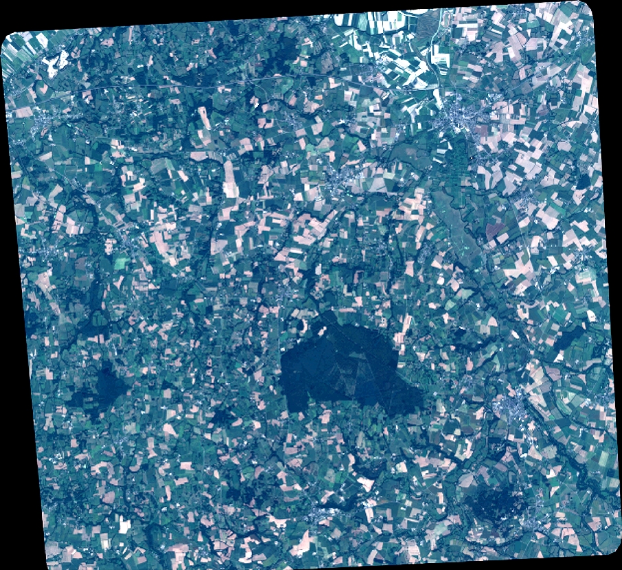
Quicklook
Copyright