TYPE:
SENSOR
LAYER:
DS_PHR1B_201809021117420_FR1_PX_W002N48_0504_01570
FORMAT:
DIMAP
RASTER:
image/jp2
General Information
Map Name
Geometric Processing Level
Radiometric Processing Level
BASIC
Image dimensions
Number of columns
36288
Number of rows
34744
Number of spectral bands
1
Dataset framing
Vertice
Longitude (DEG)
Latitude (DEG)
Row
Col
#1
-1.784393470137805
48.2191741204277
#2
-1.526695565935794
48.2177374894818
#3
-1.526893669452016
48.04446548322155
#4
-1.784112816424701
48.04611497602545
Dataset sources
PHR
Coordinate Reference System
Projected Coordinate System
Geocoding tables identification
EPSG(6.3)
Production
Production Date
2018-09-03T15:46:56.380
Job identification
3284857101-001
Dataset Producer Identification
AIRBUS DS GEO
Producer link
http://www.geo-airbusds.com
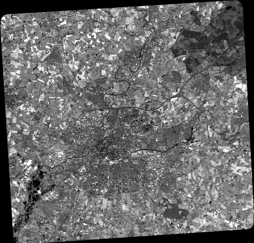
Quicklook
Copyright