TYPE:
SENSOR
LAYER:
DS_PHR1B_201809021118175_FR1_PX_W002N48_0504_01702
FORMAT:
DIMAP
RASTER:
image/jp2
General Information
Map Name
Geometric Processing Level
Radiometric Processing Level
BASIC
Image dimensions
Number of columns
9415
Number of rows
9438
Number of spectral bands
4
Dataset framing
Vertice
Longitude (DEG)
Latitude (DEG)
Row
Col
#1
-1.784424715420266
48.21591877630482
1
#2
-1.526749107639761
48.21670860356355
#3
-1.526896488510302
48.04660964615815
#4
-1.784288128864059
48.04640482804397
Dataset sources
PHR
Coordinate Reference System
Projected Coordinate System
Geocoding tables identification
EPSG(6.3)
Production
Production Date
2018-09-03T15:46:31.507
Job identification
3284856101-002
Dataset Producer Identification
AIRBUS DS GEO
Producer link
http://www.geo-airbusds.com
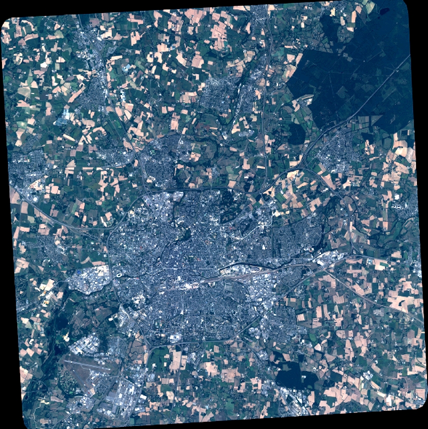
Quicklook
Copyright