TYPE:
SENSOR
LAYER:
DS_PHR1B_201809021118318_FR1_PX_W002N48_0504_01627
FORMAT:
DIMAP
RASTER:
image/jp2
General Information
Map Name
Geometric Processing Level
Radiometric Processing Level
BASIC
Image dimensions
Number of columns
36765
Number of rows
36064
Number of spectral bands
1
Dataset framing
Vertice
Longitude (DEG)
Latitude (DEG)
Row
Col
#1
-1.784423519934269
48.21281862098438
#2
-1.526836405256362
48.21804372940618
#3
-1.52687420263484
48.05038257117712
#4
-1.78428461752795
48.04584912747367
Dataset sources
PHR
Coordinate Reference System
Projected Coordinate System
Geocoding tables identification
EPSG(6.3)
Production
Production Date
2018-09-03T14:01:15.518
Job identification
3284855101-1
Dataset Producer Identification
AIRBUS DS GEO
Producer link
http://www.geo-airbusds.com
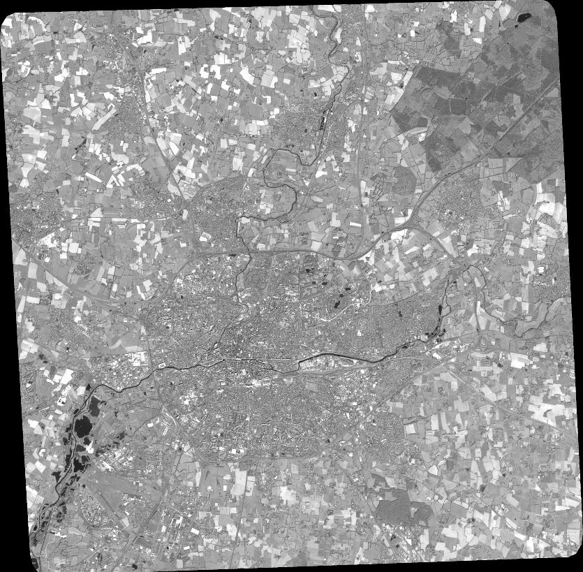
Quicklook
Copyright