TYPE:
SENSOR
LAYER:
DS_PHR1B_201809021118318_FR1_PX_W002N48_0504_01627
FORMAT:
DIMAP
RASTER:
image/jp2
General Information
Map Name
Geometric Processing Level
Radiometric Processing Level
BASIC
Image dimensions
Number of columns
9192
Number of rows
9016
Number of spectral bands
4
Dataset framing
Vertice
Longitude (DEG)
Latitude (DEG)
Row
Col
#1
-1.784413088673665
48.21281187769241
1
#2
-1.526826109116586
48.21803680479456
#3
-1.526863597832209
48.05038976759676
#4
-1.784274108950574
48.04585633052845
Dataset sources
PHR
Coordinate Reference System
Projected Coordinate System
Geocoding tables identification
EPSG(6.3)
Production
Production Date
2018-09-03T14:00:42.870
Job identification
3284855101-2
Dataset Producer Identification
AIRBUS DS GEO
Producer link
http://www.geo-airbusds.com
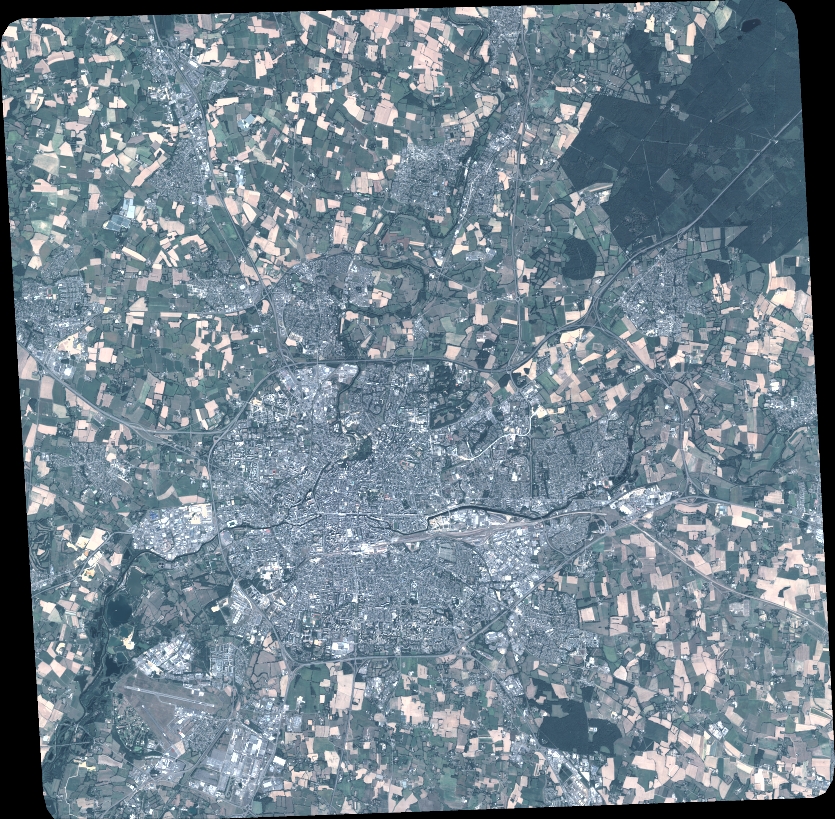
Quicklook
Copyright