TYPE:
SENSOR
LAYER:
DS_PHR1A_201808261032571_FR1_PX_E006N45_1123_02404
FORMAT:
DIMAP
RASTER:
image/jp2
General Information
Map Name
Geometric Processing Level
Radiometric Processing Level
BASIC
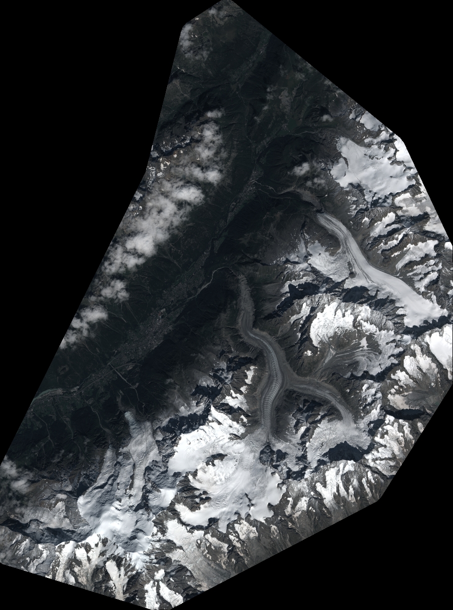
Image dimensions
Number of columns
9959
Number of rows
13401
Number of spectral bands
4
Dataset framing
Vertice
Longitude (DEG)
Latitude (DEG)
Row
Col
#1
6.780847403327826
46.05448309411561
1
#2
7.04376943504543
46.05146709499375
#3
7.043565152565035
45.81051706140304
#4
6.785904211926184
45.81124503901304
Dataset sources
PHR
Coordinate Reference System
Projected Coordinate System
Geocoding tables identification
EPSG(6.3)
Production
Production Date
2018-09-03T08:52:28.894
Job identification
3283042101-2
Dataset Producer Identification
AIRBUS DS GEO
Producer link
http://www.geo-airbusds.com
Quicklook
Copyright