TYPE:
SENSOR
LAYER:
SEN_SPOT7_20180826_100801100_000
FORMAT:
DIMAP
RASTER:
image/jp2
General Information
Map Name
Geometric Processing Level
Radiometric Processing Level
BASIC
Image dimensions
Number of columns
38609
Number of rows
40549
Number of spectral bands
1
Dataset framing
Vertice
Longitude (DEG)
Latitude (DEG)
Row
Col
#1
6.39845197613
46.1334367856
#2
7.19901790562
46.1380271437
#3
7.19540138792
45.5372000611
#4
6.40300526048
45.5294429004
Dataset sources
SPOT
Coordinate Reference System
Projected Coordinate System
Geocoding tables identification
ITU(0.0)
Production
Production Date
2018-08-27T07:42:48.00Z
Job identification
SPOT7_20180827_0715301x4iod8tqzzxc_1
Dataset Producer Identification
"SRD GEOSUD / IRD, Irstea, IGN"
Producer link
http://geosud.teledetection.fr/
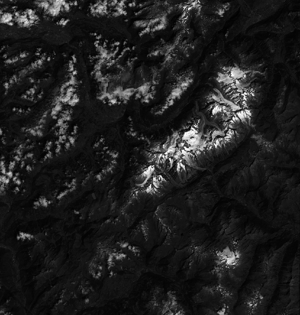
Quicklook
Copyright