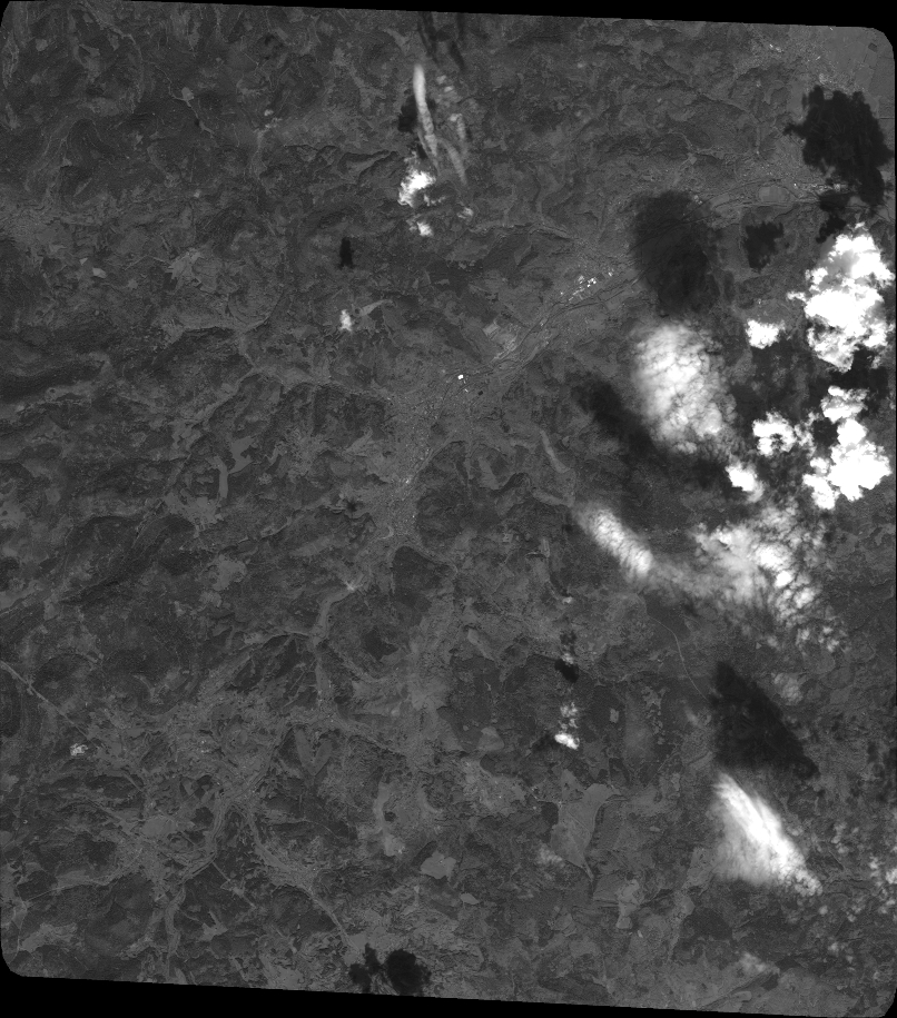
TYPE:
SENSOR
LAYER:
DS_PHR1A_201808071027581_FR1_PX_E007N48_0312_01809
FORMAT:
DIMAP
RASTER:
image/jp2
General Information
Map Name
Geometric Processing Level
Radiometric Processing Level
BASIC
Image dimensions
Number of columns
35503
Number of rows
40272
Number of spectral bands
1
Dataset framing
Vertice
Longitude (DEG)
Latitude (DEG)
Row
Col
#1
7.089010591803904
48.55413404323378
#2
7.358958680723735
48.56097913403644
#3
7.358546644313584
48.36939744459777
#4
7.09003048667293
48.36069180145049
Dataset sources
PHR
Coordinate Reference System
Projected Coordinate System
Geocoding tables identification
EPSG(6.3)
Production
Production Date
2018-08-08T16:54:49.936
Job identification
3221555101-1
Dataset Producer Identification
AIRBUS DS GEO
Producer link
http://www.geo-airbusds.com
Quicklook
Copyright