TYPE:
SENSOR
LAYER:
DS_PHR1A_201808061125169_FR1_PX_W002N48_0613_01746
FORMAT:
DIMAP
RASTER:
image/jp2
General Information
Map Name
Geometric Processing Level
Radiometric Processing Level
BASIC
Image dimensions
Number of columns
36976
Number of rows
38782
Number of spectral bands
1
Dataset framing
Vertice
Longitude (DEG)
Latitude (DEG)
Row
Col
#1
-1.715814616713474
48.58644934483024
#2
-1.436900886742897
48.5901980605402
#3
-1.437063723504872
48.40698308258594
#4
-1.71630090697842
48.40489854107008
Dataset sources
PHR
Coordinate Reference System
Projected Coordinate System
Geocoding tables identification
EPSG(6.3)
Production
Production Date
2018-08-08T16:42:10.276
Job identification
3221467101-1
Dataset Producer Identification
AIRBUS DS GEO
Producer link
http://www.geo-airbusds.com
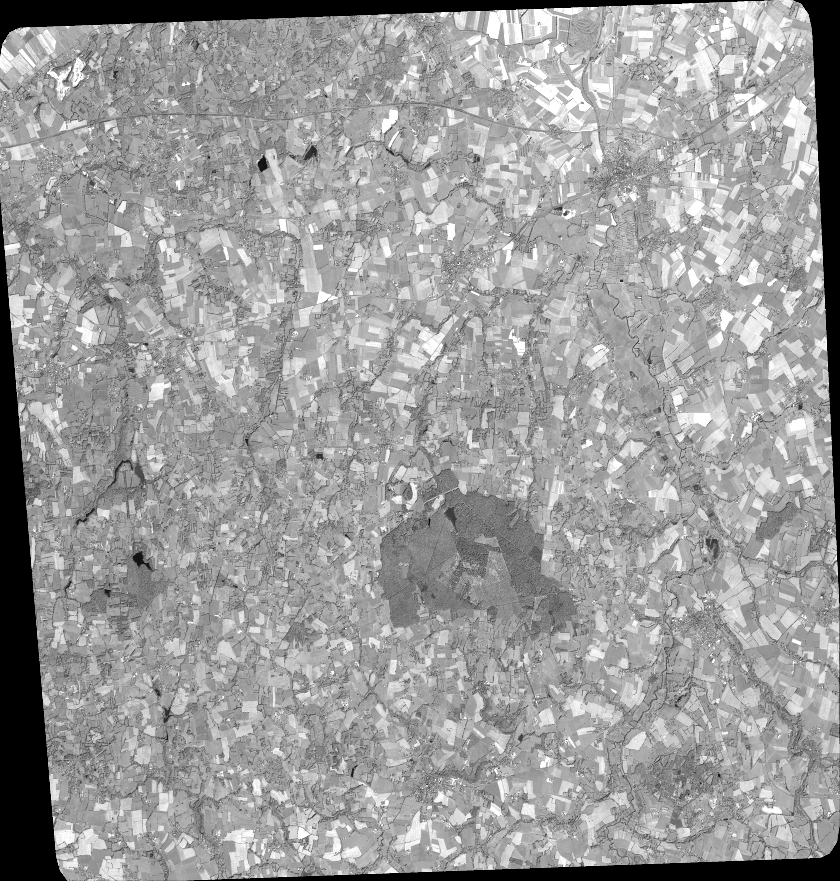
Quicklook
Copyright