TYPE:
SENSOR
LAYER:
DS_PHR1A_201807010625421_FR1_PX_E055S22_1019_01805
FORMAT:
DIMAP
RASTER:
image/jp2
General Information
Map Name
Geometric Processing Level
Radiometric Processing Level
BASIC
Image dimensions
Number of columns
34791
Number of rows
40184
Number of spectral bands
1
Dataset framing
Vertice
Longitude (DEG)
Latitude (DEG)
Row
Col
#1
55.67752451174412
-21.12803262466083
#2
55.86281176837213
-21.13239514102379
#3
55.86270132720852
-21.32218459071236
#4
55.67902690675455
-21.31965936786343
Dataset sources
PHR
Coordinate Reference System
Projected Coordinate System
Geocoding tables identification
EPSG(6.3)
Production
Production Date
2018-07-05T12:03:06.695
Job identification
3124722101-001
Dataset Producer Identification
AIRBUS DS GEO
Producer link
http://www.geo-airbusds.com
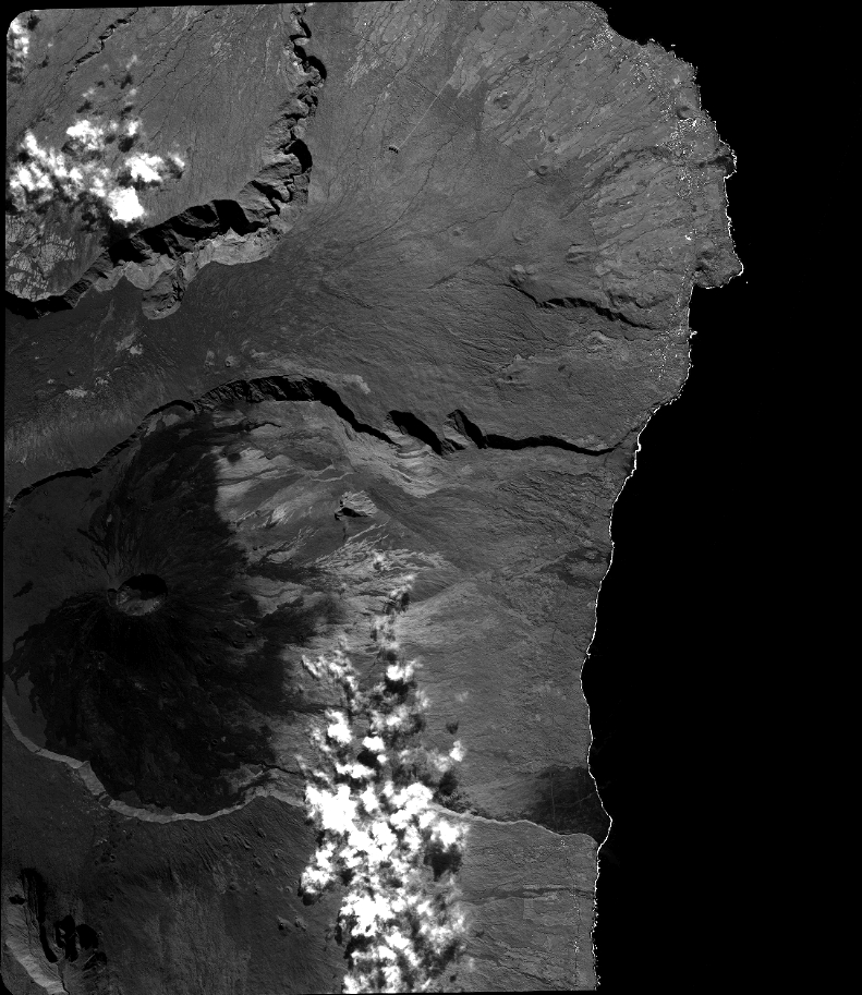
Quicklook
Copyright