TYPE:
SENSOR
LAYER:
SEN_SPOT7_20180623_100052800_000
FORMAT:
DIMAP
RASTER:
image/jp2
General Information
Map Name
Geometric Processing Level
Radiometric Processing Level
BASIC
Image dimensions
Number of columns
9652
Number of rows
8882
Number of spectral bands
4
Dataset framing
Vertice
Longitude (DEG)
Latitude (DEG)
Row
Col
#1
5.73676438545
45.3459130083
1
#2
6.56496134938
45.3139761368
#3
6.55770803948
44.7836282816
#4
5.74519357397
44.8121063864
Dataset sources
SPOT
Coordinate Reference System
Projected Coordinate System
Geocoding tables identification
ITU(0.0)
Production
Production Date
2018-06-26T16:12:03.00Z
Job identification
SPOT7_20180626_15505518kib8u7m31k7_1
Dataset Producer Identification
"SRD GEOSUD / IRD, Irstea, IGN"
Producer link
http://geosud.teledetection.fr/
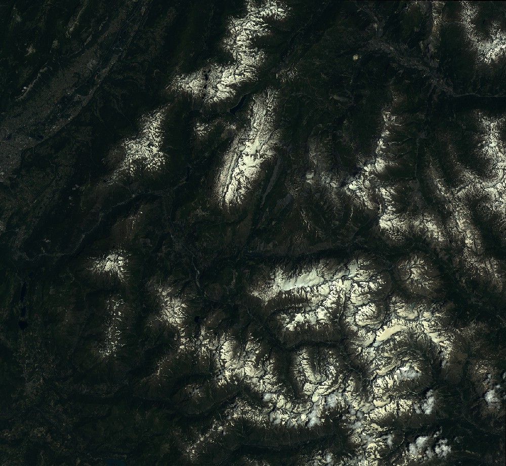
Quicklook
Copyright