TYPE:
SENSOR
LAYER:
DS_PHR1B_201806201047285_FR1_PX_E007N48_0913_01650
FORMAT:
DIMAP
RASTER:
image/jp2
General Information
Map Name
Geometric Processing Level
Radiometric Processing Level
BASIC
Image dimensions
Number of columns
36028
Number of rows
36580
Number of spectral bands
1
Dataset framing
Vertice
Longitude (DEG)
Latitude (DEG)
Row
Col
#1
7.531769396573157
48.60039840518328
#2
7.810951569437378
48.61356718108918
#3
7.811373711982188
48.43442395666449
#4
7.532121065833676
48.42298510228302
Dataset sources
PHR
Coordinate Reference System
Projected Coordinate System
Geocoding tables identification
EPSG(6.3)
Production
Production Date
2018-08-01T15:07:34.450
Job identification
3198150101-1
Dataset Producer Identification
AIRBUS DS GEO
Producer link
http://www.geo-airbusds.com
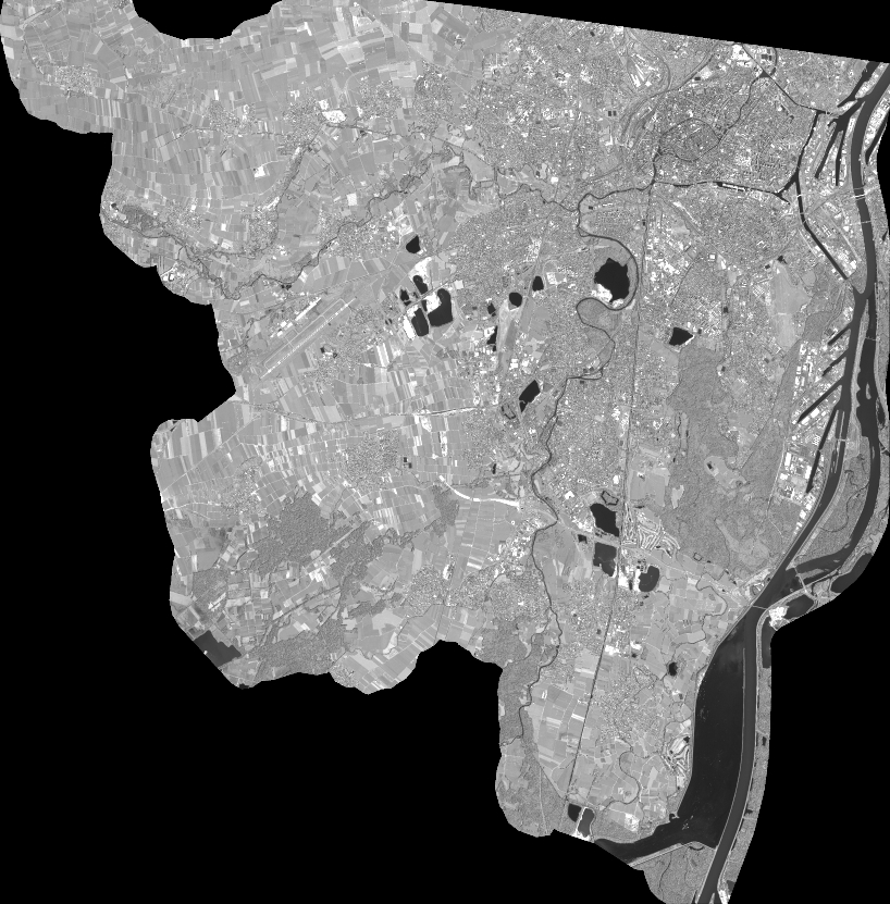
Quicklook
Copyright