TYPE:
SENSOR
LAYER:
DS_PHR1B_201806160640244_FR1_PX_E055S22_0423_01798
FORMAT:
DIMAP
RASTER:
image/jp2
General Information
Map Name
Geometric Processing Level
Radiometric Processing Level
BASIC
Image dimensions
Number of columns
36062
Number of rows
39912
Number of spectral bands
1
Dataset framing
Vertice
Longitude (DEG)
Latitude (DEG)
Row
Col
#1
55.19732639896418
-20.97406775942105
#2
55.37425140871338
-20.97381293227261
#3
55.37271511554397
-21.1554126121332
#4
55.19707593524774
-21.15499615515901
Dataset sources
PHR
Coordinate Reference System
Projected Coordinate System
Geocoding tables identification
EPSG(6.3)
Production
Production Date
2018-07-05T11:50:50.162
Job identification
3124708101-001
Dataset Producer Identification
AIRBUS DS GEO
Producer link
http://www.geo-airbusds.com
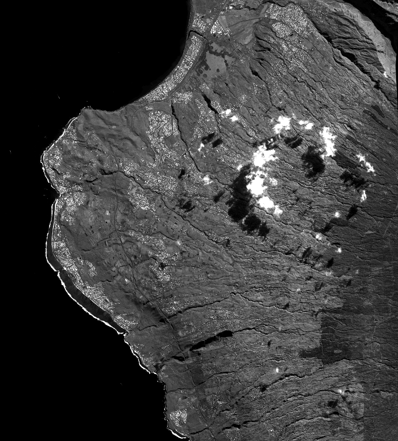
Quicklook
Copyright