TYPE:
SENSOR
LAYER:
DS_PHR1B_201806110629221_FR1_PX_E055S22_1020_01097
FORMAT:
DIMAP
RASTER:
image/jp2
General Information
Map Name
Geometric Processing Level
Radiometric Processing Level
BASIC
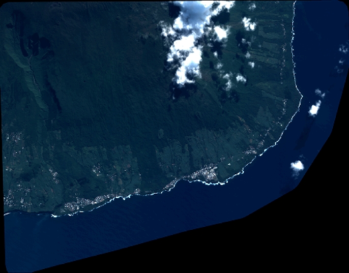
Image dimensions
Number of columns
7537
Number of rows
5890
Number of spectral bands
4
Dataset framing
Vertice
Longitude (DEG)
Latitude (DEG)
Row
Col
#1
55.68066586646149
-21.29177396303014
1
#2
55.82924835359491
-21.29266727267899
#3
55.82943748354668
-21.40270755182177
#4
55.67728014746625
-21.39903686609838
Dataset sources
PHR
Coordinate Reference System
Projected Coordinate System
Geocoding tables identification
EPSG(6.3)
Production
Production Date
2018-07-05T12:01:07.090
Job identification
3124721101-002
Dataset Producer Identification
AIRBUS DS GEO
Producer link
http://www.geo-airbusds.com
Quicklook
Copyright